Curated OER
Educational Technology Clearinghouse: Maps Etc: Mexico, 1920
A map from 1920 of Mexico showing the states and state capitals, major cities and towns, existing and proposed railroads, mountains, rivers, lakes, and coastal features of the country. A grid-key in the margin references the locations of...
Curated OER
Etc: Maps Etc: Mexico, Central America, West Indies, 1888
A map from 1888 of Mexico, Central America, and the West Indies showing the political boundaries at the time, capitals and major cities, railways, mountain systems, coastal features, reefs, and islands of the region.
Curated OER
Etc: Maps Etc: Mexico, Central America, and the West Indies, 1883
A map from 1883 of Mexico, Central America, and the West Indies showing the political boundaries at the time, capitals and major cities, railways, mountain systems, coastal features, reefs, and islands of the region.
Curated OER
Educational Technology Clearinghouse: Maps Etc: Mexico, 1911
A map from 1911 of Mexico showing the states, major cities and towns, railroads, mountains, rivers, lakes, and coastal features of the country. An inset map shows the continuation of the Yucatan Peninsula at the same map scale.
Curated OER
Educational Technology Clearinghouse: Maps Etc: Mexico, 1885
A map from 1885 of Mexico showing the states and state capitals, major cities and towns, existing and proposed railroads, steamship routes with distances and travel times between major ports given, mountain systems, rivers, lakes, and...
Curated OER
Educational Technology Clearinghouse: Maps Etc: Clavigero's Map of Mexico, 1521
A facsimile of a map by Francisco Saverio Clavigero (1780) of central Mexico in 1521, showing the Aztec dominion during the Spanish conquest of Tenochtitlan. The map shows the territorial divisions and native cities at the time.
Curated OER
Etc: Maps Etc: Mexico, Central America, and West Indies, 1901
Mexico, Central America, and West Indies.
Curated OER
Educational Technology Clearinghouse: Maps Etc: Mexico, 1870
A map from 1870 showing the physical features of Mexico, including mountain systems, plateaus, peninsulas, lakes, rivers, and coastal features. Major cities and ports are shown. A block equaling 1,000 square miles at the same map scale...
Curated OER
Educational Technology Clearinghouse: Maps Etc: Mexico, 1912
A map from 1912 of Mexico showing the states and state capitals, major cities and towns, existing and proposed railroads, mountains, rivers, lakes, and coastal features of the country.
Curated OER
Educational Technology Clearinghouse: Maps Etc: Mexico, 1916
A map from 1916 of Mexico showing the states and state capitals, major cities and towns, existing and proposed railroads, mountains, rivers, lakes, and coastal features of the country.
Curated OER
Educational Technology Clearinghouse: Maps Etc: Mexico, 1920
A map from 1920 of Mexico showing the states and state capitals, major cities and towns, existing and proposed railroads, mountains, rivers, lakes, and coastal features of the country.
Curated OER
Educational Technology Clearinghouse: Maps Etc: Mexico, 1920
A map from 1920 of Mexico showing major cities and ports, railroads with connections to the railroad network in the United States, shipping routes from New Orleans and San Francisco with distances given in nautical miles, rivers with...
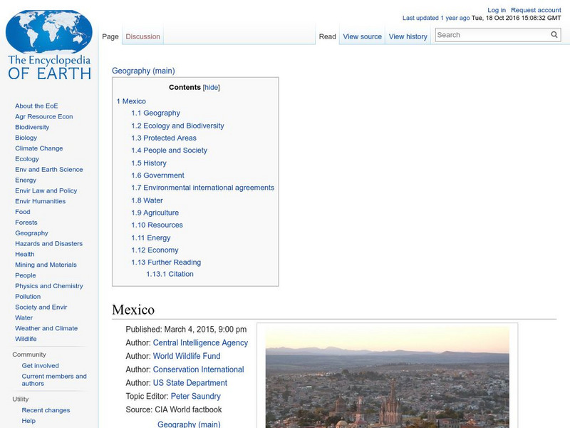
Encyclopedia of Earth
Encyclopedia of Earth: Mexico
The Encyclopedia of Earth provides an overview of Mexico, including its geography, natural resources, history, government, economy, and much more. Maps and images are also included, along with sources used to create the entry.
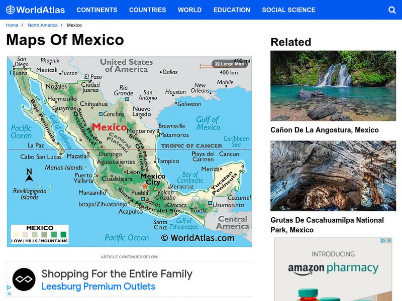
World Atlas
World Atlas: Mexico
Provided here is a description of Mexico's geography including its mountain ranges, coastal plains, plateaus, volcanoes and peninsulas.
University of Oregon
Mapping History Project: Mexican Cession: Political Boundaries
Click on this map to see the boundaries of Mexico, Texas, and the United States before the Mexican Cession, and then click again to see the land ceded to the U.S. after the Treaty of Guadalupe Hidalgo. Be sure to click to see the key...
Curated OER
Educational Technology Clearinghouse: Maps Etc: Cortes' March to Mexico, 1519
A map of Mexico showing the sites of the Spanish Conquistador expedition under Hernan Cortes in 1519. The map shows Juanna (Cuba), Tabasco, Vera Cruz, and Mexico City (Tenochtitlan). An inset map details the route taken by Cortez from...
University of Oregon
University of Oregon: Mapping History: Texas: 1836
This is a very simple map showing the Republic of Texas and the territory disputed with Mexico in 1836.
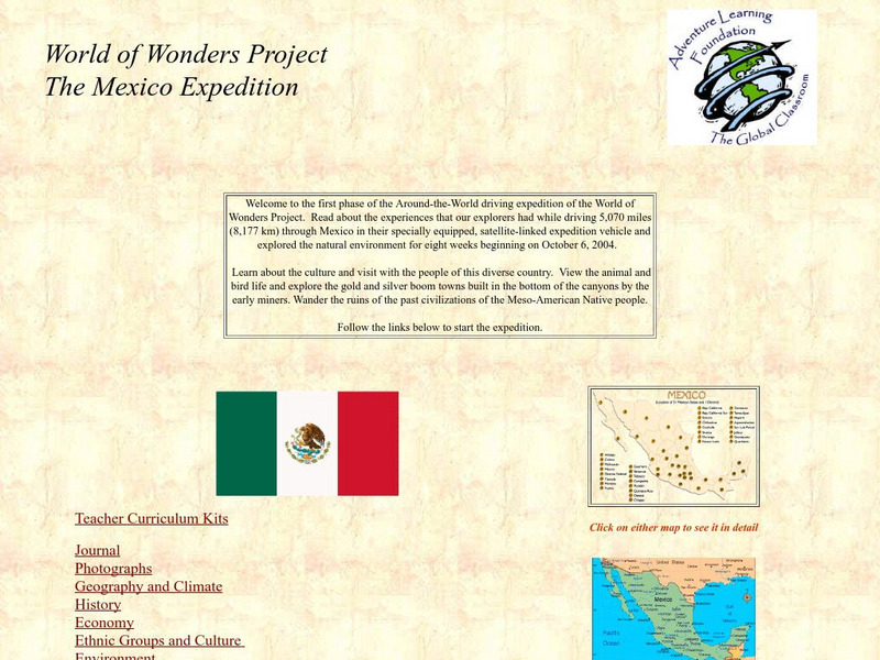
Adventure Learning Foundation
Adventure Learning Foundation: The Mexico Expedition
Take a tour through the country of Mexico in this enchanting site. Students will learn about the culture and visit with the people as they explore the geography, history, and environment of Mexico. It includes maps, classroom activities,...
Library of Congress
Loc: Online Exhibition: The Cultures and History of the Americas
Examine some of the rare books, maps, prints and other artifacts in this online exhibition. The exhibition explores several themes on the cultures and history of the Americas. The collection focuses on the period of pre-contact through...
Maps of Mexico
Virtual Picture Travel Map of Massachusetts
Click on Massachusetts on the US map in order to Travel there and take a virtual tour of Boston. Visit places of interest such as Harvard University, MIT, John F. Kennedy Library and Museum, the Freedom Trail, Copley Square, Trinity...
Maps of Mexico
Virtual Picture Travel Map of Massachusetts
Click on Massachusetts on the US map in order to Travel there and take a virtual tour of Boston. Visit places of interest such as Harvard University, MIT, John F. Kennedy Library and Museum, the Freedom Trail, Copley Square, Trinity...
Maps of Mexico
Virtual Picture Travel Map of Massachusetts
Click on Massachusetts on the US map in order to Travel there and take a virtual tour of Boston. Visit places of interest such as Harvard University, MIT, John F. Kennedy Library and Museum, the Freedom Trail, Copley Square, Trinity...
Other popular searches
- Mexico Outline Map
- Mexico Geography Map
- New Mexico Map
- Mexico Political Map
- Mexico City Map
- Topographical Map of Mexico
- Blank Map of Mexico
- Bm Map of Mexico
- Map of Mexico Activity
- Outline Map of Mexico
- Blanca Map of Mexico
- Mexico Map


