Hi, what do you want to do?
Curated OER
Developing a Gateway to the West
Students identify various topographical features that contribute to the growth of a city. They identify how military strategies contribute to the growth of a city.
Curated OER
Diabetes
Students use maps, phone books and newspapers to determine how much health information and health services exist within their home, school and community regarding Type 2 Diabetes. Students review the available information.
Curated OER
Big Apple, Here We Come
Learners role play the role of immigrants coming to America for the first time. They complete an imaginary trip with their family and must rent a car and make seven stops along the way. They calculate distances and use maps to...
Curated OER
Glorieta Battlefield
Learners examine how important combat was in Mississippi during the Civil War. They analyze the Battle of Glorieta Pass and soldiers movements and actions during the conflict. They also examine local war memorials.
Curated OER
Research Lesson on the Dust Bowl
Eleventh graders connect art (photographs) to the historical period and conjecture about conditions during this era in American history, sharing ideas in class discussion. Each student completes a project on a period depicted in one of...
Curated OER
Wood A Natural Renewable Resource
Young scholars discuss the harvest of trees as a renewable resource. In this renewable resource lesson, students evaluate the importance of how man harvest trees and uses wood as a renewable resource.
Curated OER
Explorers
In this Explorers study guide instructional activity, students respond to 3 questions regarding Prince Henry the Navigator, Vasco da Gama, Columbus, Magellan, Cortez, Pizarro, Drake, and Cartier. Answers are included.
Curated OER
Establishing Borders: U.S. Expansion
Learners interpret historical maps and locate territories annexed by the United States in the 1840. In groups, they research the war with Mexico over Texas from both perspectives and answer on a worksheet about expansion.
Curated OER
Translating Traditions
Students analyze art reflective of traditions and cultural heritage. In this art analysis lesson, students complete image based discussion.
Curated OER
Mississippi Under British Rule
Students construct appropriate maps to depict the following information: changes in European territorial claims as a result of the French and Indian War; boundaries of British East and West Florida; significant rivers and settlements of...
Curated OER
Lost on Superstition Mountain
Students review the concept of responsbility and relate it to the own lives. Using the internet, they research the search for gold on Superstition Mountain in Arizona and locate it on a map. They also examine the culture of Mexico and...
Curated OER
Old Mayan Mural
Students read a story called Scientists Discover Oldest Mayan Mural and answer vocabulary and comprehension questions about it. In this current events Mayan mural lesson plan, students respond to literature by answering questions,...
Curated OER
This Land is Your Land: Volunteering in the Community
Students discover what a Relief Office does. In this volunteer lesson plan, students investigate what a Relief Office does, and who helps run it. Students discuss ways he/she could become a volunteer.
Agriculture in the Classroom
Build it Better
If you think you can do better, feel free to give it a try. Pupils learn about the work on Temple Grandin and consider ways to improve animal handling facilities. They work in groups to build models to showcase their ideas.
Curated OER
Westward Expansion
In this westward expansion worksheet, students read and assess comprehension. In this short answer, matching, and timeline worksheet, students write answers to twenty-five questions.
Curated OER
USA Immigration by Country Quiz
In this online interactive geography quiz worksheet, students respond to 30 identification questions about countries U.S. citizens have immigrated from. Students have 5 minutes to complete the quiz.
Curated OER
Reading Comprehension: Louisiana
In this reading comprehension worksheet, students read a 2-page article regarding Louisiana and respond to 10 true or false questions regarding the selection about the state.
Curated OER
Going to the Promised Land (Dust Bowl Migration)
Students examine Dust Bowl migration. For this Great Depression lesson, students research primary sources regarding migration issues in the United States during the Great Depression. Students discuss their research findings and impressions.
Curated OER
Video Boxes
Students create a video box about a Central American country. In this world history activity, student research Central America and pick a country they want to investigate. They work in groups to create a video box that shows images about...
Curated OER
American Civilization
First graders become familiar with Mayan culture, Aztec civilization and the Inca Empire.
Curated OER
Natural Wonders
In this natural wonders instructional activity, student unscramble words, using lyrics to a song titled "Natural Wonders." An answer key is included on page 3. No song link is given.
Other
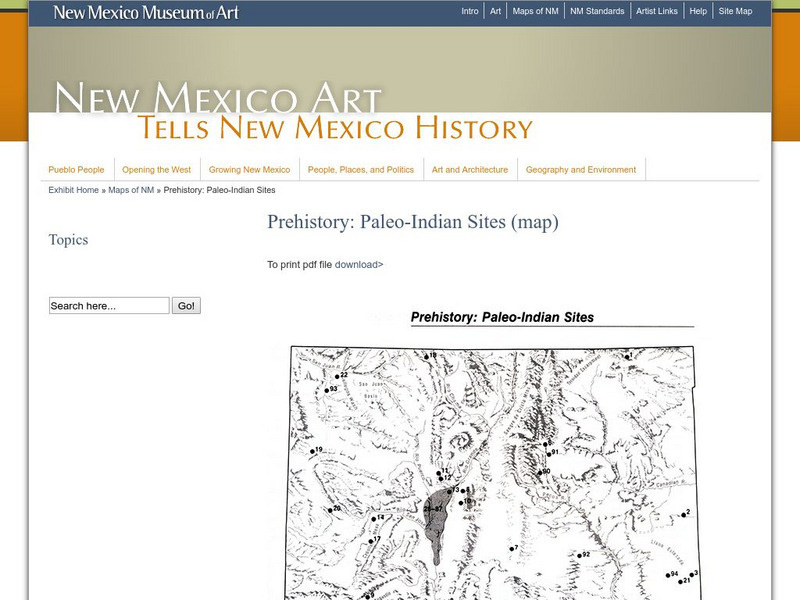
New Mexico Museum of Art: Prehistory: Paleo Indian Sites
Download a great map of New Mexico showing the Paleo-Indian sites from 10,000 B.C. to 5,500 BC. [pdf]
Enchanted Learning
Enchanted Learning: New Mexico
This site has a colorful display of information about New Mexico. It contains a map, pictures, a list of state symbols, and links to related information.
Johns Hopkins University
The Johns Hopkins University: New Mexico State Maps
This site from The Johns Hopkins University Applied Physics Laboratory contains several New Mexico geographical maps. It is very informative. Use this site to view a historical perspective with the 1859 map.


