University of Texas at Austin
Univerisity of Texas: Maps of the Americas
A large collection of maps of all countries in the Americas including relief maps, political maps, and reference maps.
That Quiz
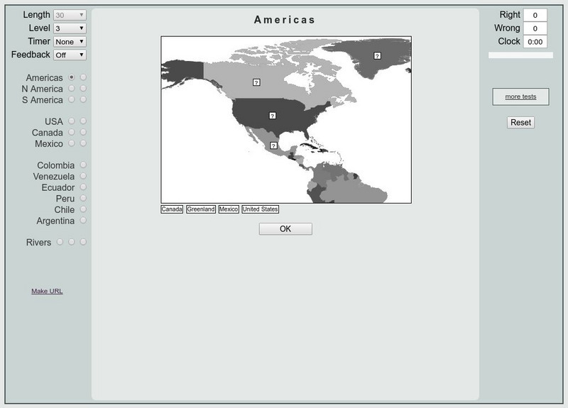
That Quiz: Practice Test: Americas
This resource provides a practice test which allows users to test their geographical knowledge of the Americas.
Other
Colombia, South America
A vast array of information about the South American country of Colombia. Features facts about its flag, coat of arms, the capital city of Bogota, music, Colombian currency, a map, and a list of facts. Click on the link to listen to the...
Other
Seterra: South America: Countries Map Quiz Game
Test your knowledge and see if you can place all the countries of South America in their correct spot!
Ducksters
Ducksters: Geography for Kids: South America
Explore the flags, maps, exports, natural resources, geography, and languages of South America on this site.
Ducksters
Ducksters: Geography Games: Capital Cities of South America
Play this fun geography map game to learn about the capital cites of the countries of South America.
Other
The David Rumsey Historical Map Collection
"The David Rumsey Historical Map Collection focuses on rare 18th and 19th century North and South America cartographic history materials. Historic maps of the World, Europe, Asia, and Africa are also represented. The collection...
Curated OER
Educational Technology Clearinghouse: Maps Etc: South America, 1898
A map of South America in 1898. The map shows capitals and major cities, railroads, terrain, rivers, and coastal features, and includes an insert map of the Isthmus of Panama. "The chief industries in South America are herding,...
Curated OER
Educational Technology Clearinghouse: Maps Etc: South America, 1872
Physical map of South America with map inserts of the Isthmus of Panama and principal products and sea ports of South America. Included are water currents and routes, railroads, select land elevations, time zones, as well as latitude and...
Curated OER
Educational Technology Clearinghouse: Maps Etc: South America, 1906
A map of South America from 1906 showing the political boundaries of the time. The map shows capitals, major cities, ports, rivers, and coastal features. An inset map shows the Galapagos Islands.
Curated OER
Educational Technology Clearinghouse: Maps Etc: South America, 1909
A map of South America from 1909 showing the political boundaries of the time. The map shows capitals, major cities, ports, rivers, and coastal features. An inset map shows the Galapagos Islands.
Curated OER
Educational Technology Clearinghouse: Maps Etc: South America, 1919
A map of South America from 1919 showing the political boundaries of the time. The map shows capitals, major cities, ports, rivers, and coastal features. An inset map shows the Galapagos Islands.
Curated OER
Educational Technology Clearinghouse: Maps Etc: South America, 1920
A map of South America from 1920 showing the political boundaries of the time. The map shows capitals, major cities, ports, rivers, terrain, and coastal features. An inset map shows the Galapagos Islands.
Curated OER
Educational Technology Clearinghouse: Maps Etc: South America, 1920
A map of South America from 1920 showing the political boundaries of the time. The map shows capitals, major cities, ports, rivers, and coastal features. An inset map shows the Galapagos Islands. A key-grid reference to countries and...
Curated OER
Educational Technology Clearinghouse: Maps Etc: South America, 1901
A map of South America from 1901 showing the political boundaries of the time. The map shows capitals, major cities, ports, railroads, rivers, and coastal features. An inset map shows the Isthmus of Panama with the railroad from the...
Curated OER
Educational Technology Clearinghouse: Maps Etc: South America, 1910
A map of South America in 1910 showing the political boundaries of the time. The map is color-coded to distinguish between states, and shows the territorial dispute along the Columbian and Ecuadorian frontier in 1910. The map shows...
Curated OER
Educational Technology Clearinghouse: Maps Etc: South America, 1870
A map of South America from 1870 showing the political boundaries of the time. The map shows capitals, major cities, ports, rivers, terrain and coastal features. Mountain chains and systems are shown by hatchure. An outline map of...
Curated OER
Educational Technology Clearinghouse: Maps Etc: South America, 1885
An orographic map of South America from 1885 showing the primary mountain systems and general elevations. The map is color-coded to show highlands in buff tint, lowlands in green, and the major mountain chains with heavy black lines. The...
Curated OER
Educational Technology Clearinghouse: Maps Etc: South America, 1906
A map of South America from 1906 showing the political boundaries of the time. The map shows capitals, major cities, ports, rivers, terrain and coastal features. An outline map of Pennsylvania at the same map scale is included to show...
Curated OER
Etc: Maps Etc: Relief Map of South America, 1921
This 1921 map of South America depicts the changes in elevation throughout the continent. The map shows the terrain features, including mountain systems, lowlands, river systems, and coastal features.
Curated OER
Etc: Maps Etc: Political Map of South America, 1916
A map of South America from 1916 showing the political boundaries of the time. The map shows capitals, major cities, ports, rivers, terrain, and coastal features.
Curated OER
Etc: Maps Etc: Political Map of South America, 1922
A map of South America from 1922 showing the political boundaries of the time. The map shows capitals, major cities, ports, rivers, and coastal features. An inset map shows the Galapagos Islands.
Curated OER
Etc: Maps Etc: Orographical Map of South America, 1911
An orographic map of South America from 1911 showing the primary mountain systems and general elevations, and major river systems. The map is color-coded to show elevations from sea level to over 12000 feet, with highlands in buff tints...
Curated OER
Educational Technology Clearinghouse: Maps Etc: South America, 1897
A map of South America from 1897 showing the political boundaries of the time. The map shows capitals, major cities, ports, rivers, and coastal features.
Other popular searches
- South America Map
- South America Physical Map
- South America Map 1500
- South America Map `500
- South America Map Worksheet
- Physical Map of South America
- South America Map 500
- South America Outline Map
- South America Map Skills
- South American Geography Map
- South America Map \`500
- Choropleth Map South America


