Curated OER
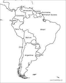
South America Map
In this map of South America worksheet, students identify and label the countries in South America. Students improve their understanding of South America.
Curated OER
South America Map Quiz
In this online interactive geography quiz worksheet, students examine the map that includes all of South America's countries. Students identify the 13 countries in 2 minutes.
Curated OER
South America and Central America Capitals Map Quiz
In this online interactive geography quiz activity, students examine the map that includes all of Central and South America's countries. Students match each of the country names to the appropriate locations on the map.
Curated OER
South America and Central America Map Quiz
In this online interactive geography quiz worksheet, learners examine the map that includes all of Central and South America's countries. Students match each of the country names to the appropriate locations on the map.
Curated OER
South America Map
In this South America political map worksheet, learners examine the country boundaries. The map also labels each of the countries and their capitals.
Curated OER
South America Map
In this South America worksheet, students view a blank map of South America that they can color or label. Students do this for all the countries in South America.
Curated OER
South America Outline Map
In this blank outline map learning exercise, learners explore the political boundaries of South America and the nations there. This map may be used in a variety of classroom activities. The map is labeled with the country names.
Curated OER
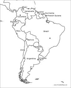
South America Outline Map
In this blank outline map worksheet, students explore the political boundaries of South America and the nations there. This map may be used in a variety of classroom activities. The location of the capital cities are denoted with...
Curated OER
South America Map
In this South American political map worksheet, students examine both national boundaries and national capitals.
Curated OER
South America Outline Map
In this outline map worksheet, students discover and investigate the continent of South America. No country borders or physical features are depicted. This blank outline map may be used for a variety of classroom activities.
Curated OER
South America Outline Map
For this outline map worksheet, students discover and investigate the physical boundaries of the countries in South America. The names of countries and a star to mark the capital city are included.
Richmond Community Schools
Map Skills
Young geographers will need to use a variety of map skills to complete the tasks required on this worksheet. Examples of activities include using references to label a map of Mexico, identify Canadian territories and European...
Curated OER
Americas: Political Map
In this North America and South America outline map worksheet, students examine the political boundaries of the 2 continents.
Curated OER
Latin America Map Quiz
In this Latin America map quiz worksheet, students label all of countries on Central and South American shown on the blank outline map.
Curated OER
South America: Physical Map
In this South American physical map worksheet, students make note of the major landforms and bodies of water located on the continent.
Curated OER
South American Outline Map
In this blank outline map worksheet, students study the political boundaries of the continent of North America and those of the countries located there.
Institute for Geophysics
Understanding Maps of Earth
Here is your go-to student resource on primary geography concepts, including facts about the surface of the earth and its hemispheres, latitude and longitude, globes, types of maps, and identifying continents and oceans.
Curated OER
Geography Words, Page 1
In this geography words and maps worksheet, students examine maps of North and South America. Students respond to 12 multiple choice questions regarding the maps.
Curated OER
Geography Words
This worksheet uses maps of South America and Canada to combine basic geography vocabulary and using prepositions. Students use the maps to answer questions about the locations of various countries on the two maps. This would be a good...
Curated OER
School-Home Link: Maps
In this atlas and parent communication form worksheet, students use an atlas to find several things: the capitol city of Japan, the number of countries in Africa, where to buy a newspaper, the names of Presidents of the United States,...
University of Florida
Sailing to St. Augustine
Using a Florida map from 1597, young explorers consider the physical characteristics they would need in a site for a new colony and the resources they would need to survive. After selecting a site, class members research to discover the...
Curated OER
South America
In this map of South America worksheet, students study the map of South America and then write the names of the 15 countries and territories on the provided lines.
Curated OER
South American Capitals Quiz
In this online interactive geography quiz worksheet, students respond to 12 identification questions about the capital cities of South America. Students have 4 minutes to complete the quiz.
Curated OER
Landforms and Resource Regions
In this geographical regions worksheet, students read a short passage, examine 2 maps which show landforms and regions in South America, then answer 4 comprehension questions based on the information from the maps and the reading passage.
Other popular searches
- Map of South America
- Reading Maps South America
- South America Map 1500
- South America Map `500
- South America Map Worksheet
- Physical Map of South America
- South America Map 500
- South America Map Skills
- Maps South America
- South America Map \`500
- Choropleth Map South America
- Blank Map South America


