Curated OER
Educational Technology Clearinghouse: Maps Etc: South America, 1885
A map of South America from 1885 showing the political boundaries of the time. The map shows capitals, major cities, ports, railroads, rivers, terrain, and coastal features.
Curated OER
Educational Technology Clearinghouse: Maps Etc: South America, 1910
A map of South America from 1910 showing the political boundaries of the time. The map shows capitals, major cities, ports, rivers, terrain and coastal features. The size of city labels indicate general population of the city at the time.
Curated OER
Educational Technology Clearinghouse: Maps Etc: South America, 1909
A map of South America.
Curated OER
Educational Technology Clearinghouse: Maps Etc: South America, 1914 1919
Map of South America in 1919.
Curated OER
Educational Technology Clearinghouse: Maps Etc: South America, 1883
Physical map of South America.
Curated OER
Educational Technology Clearinghouse: Maps Etc: South America, 1920
A map of South America from 1920 showing the political boundaries of the time.
Curated OER
Educational Technology Clearinghouse: Maps Etc: South America, 1915
Overview map of South America showing boundaries current to 1915, major cities, rivers, and the Andes.
Curated OER
Educational Technology Clearinghouse: Maps Etc: South America (Physical), 1915
Physical map of South America showing major cities (including cities with a population over one million), major landforms and waterways, including the Andes, the Amazon River and Amazon Basin, the Guyana Highlands, the Parana River, the...
University of Texas at Austin
Perry Castaneda Library Map Collection: Venezuela Maps
This site provides several country and city maps as they relate to Venezuela.
University of Oregon
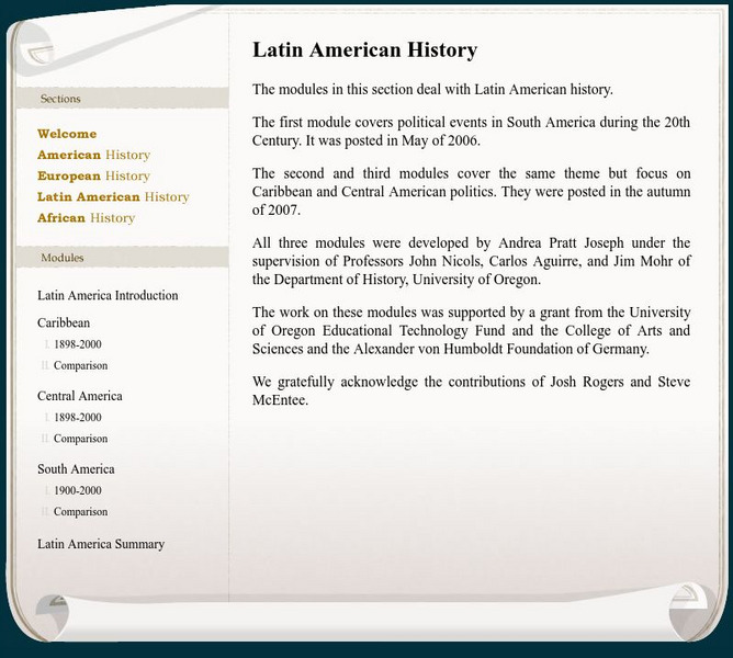
Mapping History: Latin American History
Interactive and animated maps and timelines of historical events and time periods in Latin American history from 1898 to 2000.
NOAA
Noaa: Cpc: Regional Climate Maps
Provides large colorful maps of climate data about each continent for the current week, month, or previous quarter.
Lizard Point Quizzes
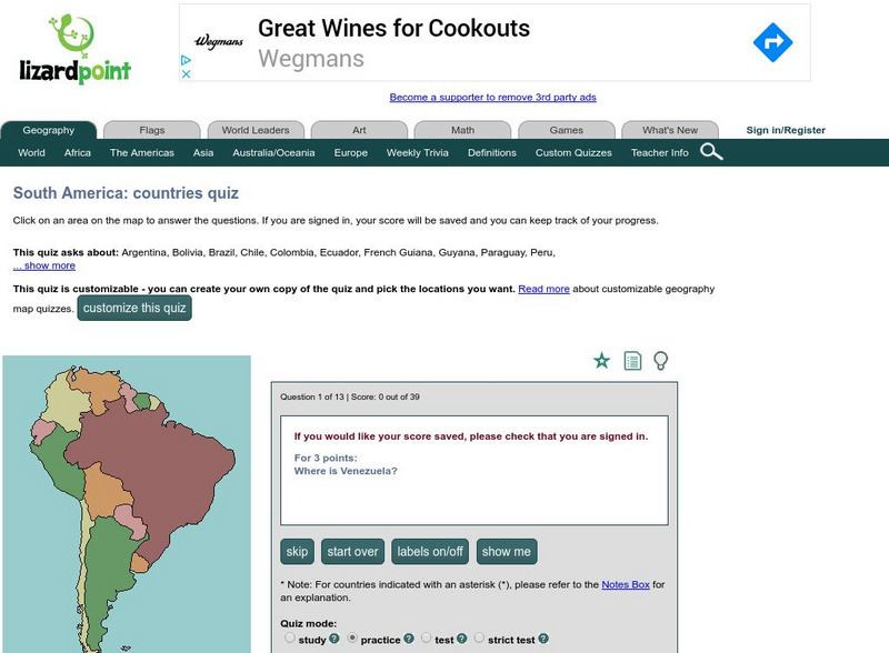
Lizard Point: The South America Quiz
Take this interactive map quiz from Lizard Point to practice and test your knowledge of South American geography.
Other
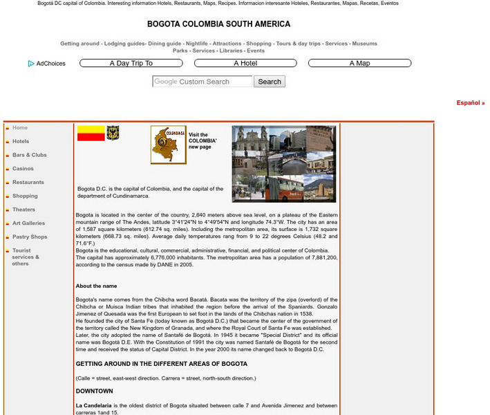
Bogota Colombia South America
Comprehensive reference tool that allows the reader to learn about the history of Bogota while discovering places to visit, sites of interest, maps, parks, lodging and dining, and much more.
Other
Geography Quiz: Northern South American Cities
Have fun trying to locate famous cities in northern South America on a map. Do you know where Paramaribo is? See how much you know!
Other
Geography Quiz: Southern South American Cities
Have fun trying to locate famous cities in southern South America on a map. Do you know where Asuncion is? See how much you know!
Curated OER
Etc: Maps Etc: Physical Map of South America, 1898
A map from 1898 of South America showing the general physical features including mountain systems, prominent peaks and volcanoes, river and lake systems, plateaus, and coastal features. The map includes an insert of the Isthmus of...
Curated OER
Etc: Maps Etc: South America (Southern Part), 1920
A map from 1920 of the southern part of South America from Sao Paulo on the Atlantic and Iquique on the Pacific south to Tierra del Fuego. The map shows the political boundaries at the time for Argentina, Paraguay, Uruguay, and the...
Curated OER
Educational Technology Clearinghouse: Maps Etc: South America, 1921
A map from 1921 of South America showing the political boundaries of the time, major cities, railroads, terrain, rivers, and coastal features, and includes an insert map of the Galapagos Islands. " South America, the fourth largest grand...
Curated OER
Educational Technology Clearinghouse: Maps Etc: South America (Physical), 1868
A map from 1868 of South America showing the physical features of the region, vegetation types, ocean currents, temperatures, principal products and mineral deposits. Mountain chains are represented by lines of varying thickness, with...
Curated OER
Etc: Maps Etc: Relief Map of South America, 1890
A relief map from 1890 showing terrain features of South America. "South America is the fourth continent in size, and strikingly resembles North America in the arrangement of its relief-forms. It has, like the latter, a predominant...
Curated OER
Etc: Maps Etc: Physical Map of South America, 1902
A map from 1902 of South America showing the general physical features including mountain systems, prominent peaks and volcanoes, river and lake systems, plateaus, and coastal features. The map is color-coded with the highlands above...
Curated OER
Etc: Maps Etc: South America Political Formation, 1911
A map from 1911 of South America showing the political boundaries of the time, major cities, terrain, rivers, and coastal features. The map is color-coded to show the Spanish, Portuguese, Dutch, and French possessions about the end of...
Curated OER
Etc: Maps Etc: South America Orographical, 1915
A map showing elevations above and below sea level throughout South America.
Curated OER
Etc: Maps Etc: Physical Map of South America, 1901
A map from 1901 of South America showing the general physical features including mountain systems, prominent peaks and volcanoes, river and lake systems, plateaus, and coastal features. The map is color-coded with the highlands above...
Other popular searches
- South America Map
- South America Physical Map
- South America Map 1500
- South America Map `500
- South America Map Worksheet
- Physical Map of South America
- South America Map 500
- South America Outline Map
- South America Map Skills
- South American Geography Map
- South America Map \`500
- Choropleth Map South America


