Curated OER
Educational Technology Clearinghouse: Maps Etc: Early Spanish Map of Peru, 1774
A facsimile of an early Spanish map of Peru and northwest South America, from the Paris (1774) edition of Zarate. The map is in French, and the map coverage extends from Panama to the Paria River delta (Orinoco) of Venezuela in the north...
Curated OER
Educational Technology Clearinghouse: Maps Etc: Patagonia, 1911
A map from 1911 showing the region of Patagonia at the southern tip of South America from Buenos Aires in Argentina to Cape Horn on Tierra del Fuego, and includes the Falkland Islands (Islas Malvinas) as a British possession. The map...
Curated OER
Educational Technology Clearinghouse: Maps Etc: Tierra Del Fuego, 1915
Map of Tierra del Fuego at the southern tip of South America, including Punta Arena (the southernmost city of the world), predominant mountain peaks (Mt. Hope, Mt. Darwin, Mt. Sarmiento), the Strait of Magellan, local natural resources...
Curated OER
Educational Technology Clearinghouse: Maps Etc: Brazil and Guiana, 1914 1919
Map of eastern part of South America in 1919.
Curated OER
Etc: South American Production of Tungsten, Vanadium, and Molybdenum, 1912 1915
"Production of Tungsten in South America in 1913, of Vanadium in 1912, and of Molybdenum in 1915.
Other
Museum of Unnatural History: Virtual Exploration Society: Colonel Percy Fawcett
Read about the exciting adventures of Col. Percy Fawcett as he mapped the jungles of South America in the early 20th century.
Kidport
Kidport: United States of America Geography
This site contains a fun way to learn about the states within the United States. Click on the state that you want to learn more about and it provides facts, geographic landmarks, points of interest, major industries, a quiz and more.
BBC
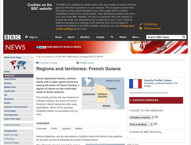
Bbc: News: Regions and Territories: French Guiana
The BBC presents an overview of facts on the South American region of French Guiana. Discusses its leaders, the media, and has a link to the weather there.
National Weather Service
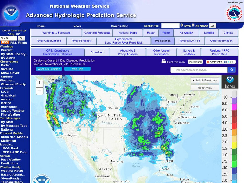
National Weather Service:climate Prediction Center: Daily Precipitation Analysis
Find real-time daily precipitation analysis for the United States, Mexico, and South America as well as accumulated precipitation maps for the past 30 or 90 days.
Adventure Learning Foundation
Adventure Learning Foundation: The Andes Expedition
Take an exciting exploration of South America, driving northward along the Andes, crossing back and forth between Chile, Argentina, Bolivia, and Peru. Explore the natural environment, culture, and people. It includes journals,...
Adventure Learning Foundation
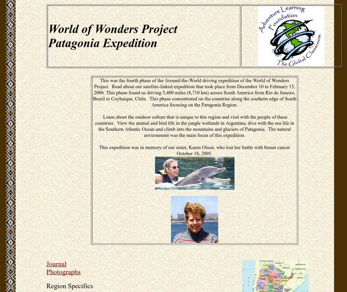
Adventure Learning Foundation: Patagonia Expedition
Take an exciting tour of the Patagonia region in South America in this engaging site. Students discover the history, economy, geography, climate, and people of this region. It includes maps, journal excerpts, photographs, and classroom...
Curated OER
Carver, Jonathan 1781, New Map of North America
"The David Rumsey Historical Map Collection focuses on rare 18th and 19th century North and South America cartographic history materials. Historic maps of the World, Europe, Asia and Africa are also represented. The collection categories...
Science Struck
Science Struck: List of Latin American Countries With Their Capitals
Presents a map and list of all the Latin American countries, along with their capitals, population, land area, and names of the largest cities. (Note: Puerto Rico is a territory of the United States, not a country on its own.)
Other
Sacred Sites in Peru
This website shows the location of 41 sacred places in Peru on a map of South America.
Adventure Learning Foundation
Adventure Learning Foundation: Brazil
Useful guide with an abundance of country specific information about the South American country of Brazil. Content covered includes photos, symbols, history, economy, geography, climate, population, culture, maps, and lesson plans.
Encyclopedia of Earth
Encyclopedia of Earth: Bolivia
Provides an overview of Bolivia, including its geography, natural resources, history, government, economy, and much more. Maps and images are also included, along with sources used to create the entry.
Other
Ecuador Pictures
A pictorial photo gallery of Ecuador that demonstrates the beauty of this small South American country. View animals, landscapes, towns, monuments, parks, the Rainforest, waterfalls, and so much more.
Hans Lohninger
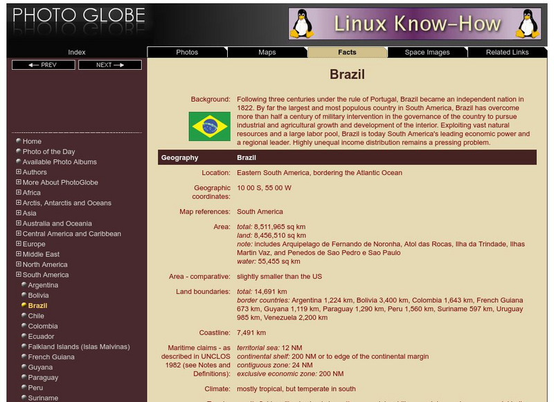
Photo Globe: Brazil
Presents many general country specific facts about Brazil in a well organized chart form. Content includes: geography, people, government, economy, communications, transportation, military, and transnational issues. This site is enriched...
Hans Lohninger
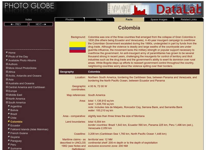
Photo Globe: Colombia
Presents many general country facts about Colombia in a well organized chart form. Content includes: geography, people, government, economy, communications, transportation, military, and transnational issues. This site is enriched by...
Hans Lohninger
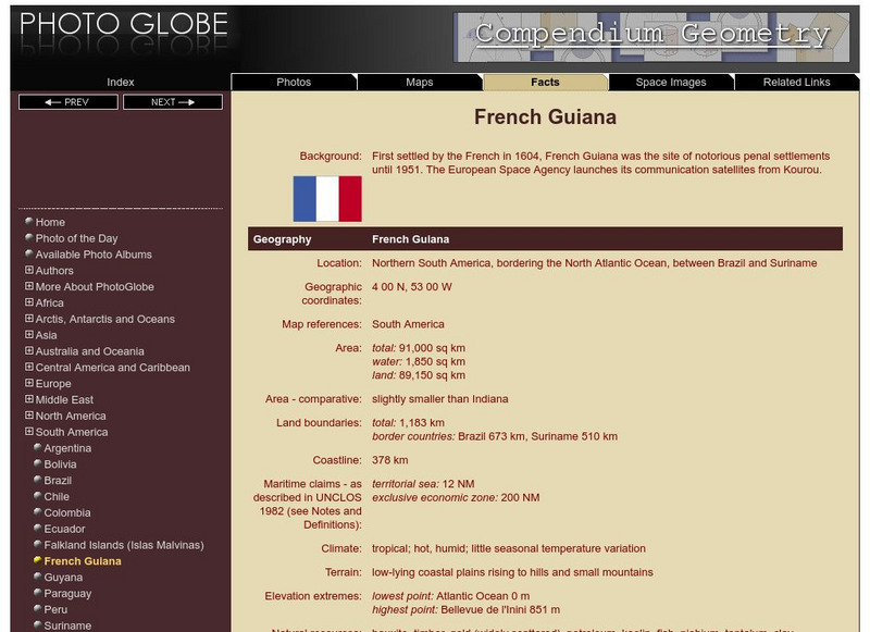
Photo Globe: French Guiana
Features many country specific facts about French Guiana in a well organized chart form. Content includes: geography, people, government, economy, communications, transportation, military, and transnational issues. This site is enriched...
Hans Lohninger
Photo Globe: Guyana
Offers general country specific facts about Guyana in a well organized chart form. Content includes: geography, people, government, economy, communications, transportation, military, and transnational issues. This site is enriched by a...
Hans Lohninger
Photo Globe: Paraguay
Provides many general country facts about Paraguay in a well organized chart form. Content includes: geography, people, government, economy, communications, transportation, military, and transnational issues. This site is enriched by a...
Hans Lohninger
Photo Globe: Suriname
Examines general country specific facts about Suriname in a well organized chart form. Content includes: geography, people, government, economy, communications, transportation, military, and transnational issues. This site is enriched by...
Hans Lohninger
Photo Globe: Uruguay
Explores general country facts about Uruguay in a well organized chart form. Content includes: geography, people, government, economy, communications, transportation, military, and transnational issues. This site is enriched by links to...
Other popular searches
- South America Map
- South America Physical Map
- South America Map 1500
- South America Map `500
- South America Map Worksheet
- Physical Map of South America
- South America Map 500
- South America Outline Map
- South America Map Skills
- South American Geography Map
- South America Map \`500
- Choropleth Map South America


