World Facts US
World Facts: Geography of Venezuela
Features detailed information about the topography, climate, and hydrography of Venezuela. Click on the link to take a look at the map.
Information Technology Associates
Theodora: Colombia 2017
A complete resource for country-specific information on Colombia. Full of useful facts on geography, population, religion, military, international issues, history, government, economy, communications, transportation, and more. Links to...
Information Technology Associates
Theodora: Guyana 2017
Great starting point for a research paper. Covers a broad list of topics including geography, maps, population, religion, military, international issues, history, government, economy, communications, transportation, and photos.
Information Technology Associates
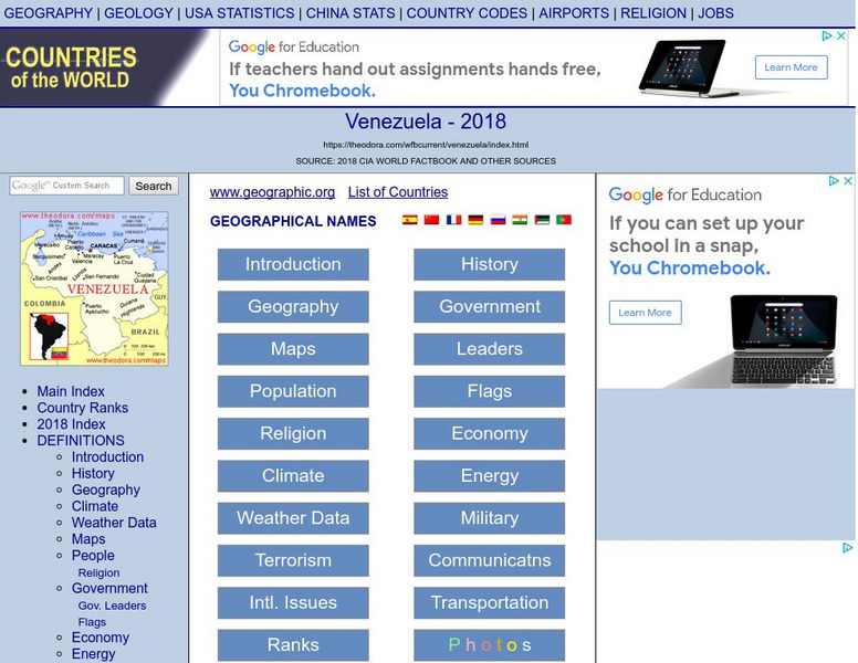
Theodora: Venezuela 2017
Current country-specific information compiled from a variety of sources. Learn about Venezuela's geography, population, climate, people, government, economy, communications, international issues, religion, and more. Be sure to click on...
Information Technology Associates
Suriname 2017
Comprehensive country-specific information compiled from a variety of sources. Explore Suriname's geography, population, climate, people, government, economy, communications, international issues, religion, and more. Be sure to click on...
Other
Peru Cultural: The Incas
An award winning site that uncovers the lost Incan civilization. Features include history, administration, technology, arts, and maps. A sophisticated account of the Incas that is well worth a visit.
Curated OER
Etc: Maps Etc: Routes to the Panama Isthmus, 1913
A map from 1913 of the eastern United States, the Caribbean, and the Panama Isthmus showing the directness of the steamship routes from New York and New Orleans to Colon. Since the Panama Canal did not open to commercial traffic until...
Curated OER
Educational Technology Clearinghouse: Maps Etc: The Falkland Islands, 1903
A map from 1903 of the Falkland Islands, located in the South Atlantic off the coast of Argentina and under control of Great Britain. The map shows the capital city of Stanley and the settlements of Port Salvador and Port William, the...
Curated OER
Etc: Maps Etc: The Peaks and Volcanoes Which Form the Andes, 1873
An orographic sketch map from 1873 of the Andes mountain chains. The map divides the system into the Andes of Columbia and Ecuador, Andes of Bolivia and Peru, Andes of Chile, and Andes of Patagonia. The map is keyed to show the prominent...
Curated OER
Educational Technology Clearinghouse: Maps Etc: Brazil and Guiana, 1911
A map from 1911 showing the British, Dutch, and French Guiana colonies, and eastern Brazil from approximately 60 degrees west of Greenwich to the Atlantic Coast, and from Guiana in the north to Sao Paulo in the south, and the Amazon...
Curated OER
Etc: Maps Etc: Argentine Republic, Chile, Paraguay, and Uruguay, 1904
A map from 1904 of the Argentine Republic, Chile, Paraguay, and Uruguay. This map shows capital cities, major towns, ports, rivers, terrain, and coastal features. The map shows mean annual temperatures for selected cities, elevations for...
Curated OER
Educational Technology Clearinghouse: Maps Etc: Peru and Bolivia, 1906
A map of Peru and Bolivia from 1906 showing the political boundaries at that time. The map shows the capital cities of Lima (Peru) and La Paz (Bolivia), major cities, towns, and ports, railroads, rivers, lakes, mountains and terrain, and...
Curated OER
Educational Technology Clearinghouse: Maps Etc: Chile and Argentina, 1911
A map from 1911 showing the political boundaries of Argentina, Chile, Paraguay, and Uruguay at the time. Bordering portions of Brazil and Bolivia are also shown. State boundaries are shown in red, and the map includes capitals, major...
Curated OER
Etc: Maps Etc: Argentina, Chile, Paraguay, and Uruguay, 1915
Map of Argentina, Chile, Paraguay, and Uruguay showing boundaries current to 1915, major cities, rivers, Strait of Magellan, Patagonia, the Falkland Islands, and the southern Andes mountain chain including Mt. Aconcagua.
Curated OER
Etc: Maps Etc: Colombia, Ecuador, Venezuela and the Guianas, 1906
A map from 1906 showing the borders of Columbia, Ecuador, Venezuela, and the Guianas at the time. The map shows capitals, major cities, towns, ports, railroads, rivers, terrain and coastal features of the region, and portions of Panama,...
Curated OER
Educational Technology Clearinghouse: Maps Etc: Lake Titicaca, 1889
A map of Lake Titicaca from 1889 during the French scientific explorations, showing Charles Weiner's route in the region from 1875 to 1877. This map shows rivers draining into the lake, nearby villages, and archeological sites of the area.
Curated OER
Educational Technology Clearinghouse: Maps Etc: Venezuela and the Guianas, 1915
Map of Venezuela, and the former colonies of British Guiana (Guyana), Dutch Guiana (Suriname), and the current departements d'outre-mer French Guiana showing boundaries current to 1915, major cities, the Orinoco River, and Lake Maracaibo.
Enchanted Learning
Enchanted Learning: The Continents
Brightly colored printouts, maps, and graphics on the greatest land masses on earth. See how continental drift works, look up extremes, label maps, learn about latitude, longitude and other geography terms. Teachers will find a Landforms...
Smithsonian Institution
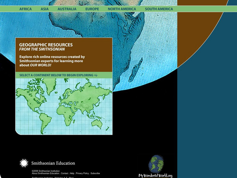
Smithsonian Education: My Wonderful World
Interactive map of the world in which students select a continent and begin exploring using online resources from the Smithsonian Institute.
National Geographic Kids
National Geographic Kids: Brazil
Follow this interactive overview to learn about this country's history, geography, nature, people, government; map and video included.
National Geographic Kids
National Geographic Kids: Peru
Welcome to Peru! Follow this interactive overview of the country's history, geography, people, government, nature, and more. A map and video are included.
Other
Iguazu Argentina
Everything you'd want to know to plan a trip to Iguazu Falls. Features news of the Falls area, location information, a map, history of the National Park, how the falls were formed, and beautiful photographs. Be sure to watch the video!
Curated OER
Etc: Argentina, Chile, Paraguay, and Uruguay, 1914 1919
Map of southern part of South America in 1919.
Other popular searches
- South America Map
- South America Physical Map
- South America Map 1500
- South America Map `500
- South America Map Worksheet
- Physical Map of South America
- South America Map 500
- South America Outline Map
- South America Map Skills
- South American Geography Map
- South America Map \`500
- Choropleth Map South America


