Curated OER
Etc: Operations in South During the Amer Rev War, 1780 1781
A map showing the southern operations (1780-1781) during the American Revolutionary War. The map shows terrain, rivers, and major battle sites from the northern Virginia line south to St. Augustine, which was at the time a Loyalist...
Curated OER
Educational Technology Clearinghouse: Maps Etc: Division of the West, 1782
A map of the United States and the division of the West as proposed by France, on September 6th, 1782. The map is color-coded to show the United States at the time, the Indian Reserves south of the Ohio River under the protection of the...
Curated OER
Educational Technology Clearinghouse: Maps Etc: Oregon Controversy, 1792 1846
A map of the Oregon Territory between the time of exploration by George Vancouver (1792) and the Oregon Treaty of 1846. The map is color-coded to show the disputed claims of the British and United States, the Russian American line of...
Curated OER
Educational Technology Clearinghouse: Maps Etc: Middle Colonies, 1620 1702
A map of the New Jersey Colony between the establishment of the Dutch settlement at Bergen (1620) and the unification of East and West Jersey in 1702. The map shows the 'North River’ (Hudson River) and 'South River’ (Delaware River), the...
Curated OER
Educational Technology Clearinghouse: Maps Etc: Route of De Soto, 1539 1542
A map of the supposed route of Hernando de Soto's expedition taken from Tampa Bay (1539) to the Mississippi River, first reached in 1541, and the site of his death in 1542. The map shows the winter quarters of the expedition in northern...
Curated OER
Educational Technology Clearinghouse: Maps Etc: Mississippi Valley, 1682
A facsimile of a map by Jean Baptiste Louis Franquelin (1682) of the Mississippi River Valley from the Great Lakes to the Gulf of Mexico showing the explorations of Robert LaSalle (Rene-Robert Cavelier, Sieur de la Salle) as far south as...
Curated OER
Educational Technology Clearinghouse: Maps Etc: Battle at the Brandywine, 1777
A map of the area in Pennsylvania south of Philadelphia detailing the Battle of Brandywine during the American Revolution (September 11, 1777). The map shows the battle site of Chad's Ford, the Lancaster Road, the British and American...
Curated OER
Educational Technology Clearinghouse: Maps Etc: Hay Herbert Treaty, 1903
A map of the southern border of Alaska and Canada showing the area of boundary dispute and the boundary established by the Hay-Herbert Treaty between Britain and the United States in 1903. The map shows the coastline and fjords of the...
Curated OER
Etc: Maps Etc: The Thirteen Colonies at the End of the Colonial Period, 1774
A map of the British Thirteen Colonies at the end of the colonial period in 1774. The map shows the boundaries of the colonies and notes the uncolored territory east of the Mississippi and south of the Great Lakes as claimed by Georgia,...
Curated OER
Educational Technology Clearinghouse: Maps Etc: The Carolina Grant, 1665
A map of Georgia and the Carolinas, showing the land granted to eight English lords and gentlemen as joint proprietaries by King Charles II under the charter of 1663, which extended from the southern border of Virginia south to the 29...
Curated OER
Educational Technology Clearinghouse: Maps Etc: Battle of Brandywine, 1777
A battle plan of the Battle of Brandywine in Pennsylvania south of Philadelphia during the American Revolution (September 11, 1777). The American defeat of this battle allowed the British to capture Philadelphia. The map shows the...
Curated OER
Educational Technology Clearinghouse: Maps Etc: The Southern Colonies, 1606
A map of the Southern Colonies showing the current boundaries of Maryland, Delaware, Virginia, North Carolina, South Carolina, and Georgia, showing early European settlements.
Curated OER
Etc: Maps Etc: The War in Northern New York, 1777
A map of the Adirondack Mountains, southern Lake Champlain, eastern Lake Ontario, and Hudson River Valley south to Peekskill showing the important battle sites of the area during the American Revolutionary War.
Curated OER
Etc: Maps Etc: Proposed Division of Western Lands, 1784
A map of the United States and the Northwest Territory east of the Mississippi River showing the proposed division of western lands 'ceded or to be ceded’ by the states according to the Ordinance of April 23, 1784. Under this proposed...
SMART Technologies
Smart: World Map
This lesson features a world map with labeled countries, a global map, and an interactive map of the seven continents.
Latimer Clarke Corporation
Atlapedia Online: Guyana
A quick reference tool for finding facts and statistics on the South American country of Guyana. Click on the maps to enlarge them.
Latimer Clarke Corporation
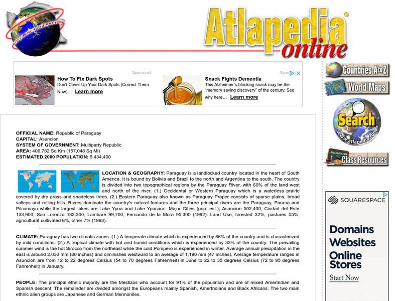
Atlapedia Online: Paraguay
Quick reference tool for finding facts, information, and statistics on the South American country of Paraguay. Click on the maps to enlarge them.
Latimer Clarke Corporation
Atlapedia Online: Suriname
This brief easy to use guide is a great starting point for doing research on the South American country of Suriname. Full of information and statistics on topics such as geography, climate, people, history, economy, and more. Click on...
Other
Country reports.org: Brazil Country Information
This great resource for students and teachers alike provides an abundance of information on the South American country of Brazil. Examines the countries customs and culture, history, geography, economy, population, government, and more....
Other
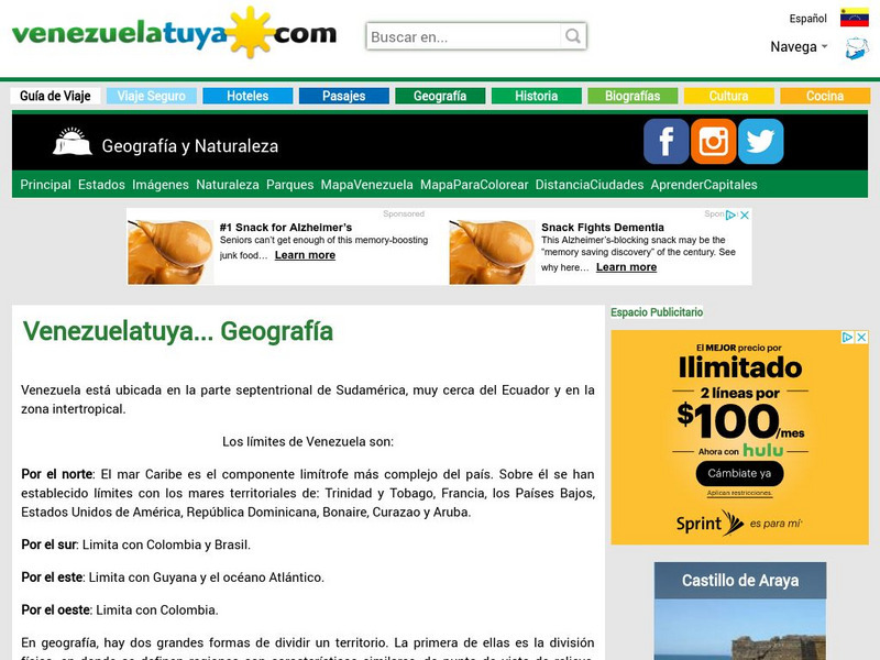
Venezuela: Geografia
This site from Venezuelatuya.com shows maps of the different geographical and political divisions of Venezuela. The first maps show geographical divisions. The last map shows political/administrative divisions along with Venezuela's...
Climate Zone
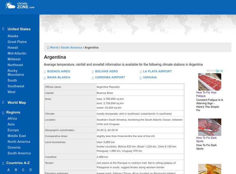
Climate Zone: Climate of Argentina
Tables for the different climate regions in Argentina show the average temperature, rainfall and snowfall in this South American country.
Climate Zone
Climate of Uruguay
Climate information for the South American country of Uruguay is found here. Average temperature, rainfall, and snowfall is broken down by months.
Other
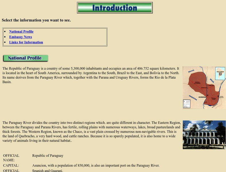
Paraguay: National Profile
Provides a brief but factual national profile of the South American country of Paraguay.
Hans Lohninger
Photo Globe: Bolivia
Presents many general country specific facts about Bolivia in a well organized chart form. This site is enriched by links to maps and an image of the Altiplano salt flats.
Other popular searches
- South America Map
- South America Physical Map
- South America Map 1500
- South America Map `500
- South America Map Worksheet
- Physical Map of South America
- South America Map 500
- South America Outline Map
- South America Map Skills
- South American Geography Map
- South America Map \`500
- Choropleth Map South America


