Curated OER
Educational Technology Clearinghouse: Maps Etc: Chile and Argentina, 1911
A map from 1911 showing the political boundaries of Argentina, Chile, Paraguay, and Uruguay at the time. Bordering portions of Brazil and Bolivia are also shown. State boundaries are shown in red, and the map includes capitals, major...
Curated OER
Etc: Maps Etc: Argentina, Chile, Paraguay, and Uruguay, 1915
Map of Argentina, Chile, Paraguay, and Uruguay showing boundaries current to 1915, major cities, rivers, Strait of Magellan, Patagonia, the Falkland Islands, and the southern Andes mountain chain including Mt. Aconcagua.
Curated OER
Etc: Maps Etc: Colombia, Ecuador, Venezuela and the Guianas, 1906
A map from 1906 showing the borders of Columbia, Ecuador, Venezuela, and the Guianas at the time. The map shows capitals, major cities, towns, ports, railroads, rivers, terrain and coastal features of the region, and portions of Panama,...
Curated OER
Educational Technology Clearinghouse: Maps Etc: Lake Titicaca, 1889
A map of Lake Titicaca from 1889 during the French scientific explorations, showing Charles Weiner's route in the region from 1875 to 1877. This map shows rivers draining into the lake, nearby villages, and archeological sites of the area.
Curated OER
Educational Technology Clearinghouse: Maps Etc: Venezuela and the Guianas, 1915
Map of Venezuela, and the former colonies of British Guiana (Guyana), Dutch Guiana (Suriname), and the current departements d'outre-mer French Guiana showing boundaries current to 1915, major cities, the Orinoco River, and Lake Maracaibo.
SMART Technologies
Smart: World Map
This lesson features a world map with labeled countries, a global map, and an interactive map of the seven continents.
Latimer Clarke Corporation
Atlapedia Online: Guyana
A quick reference tool for finding facts and statistics on the South American country of Guyana. Click on the maps to enlarge them.
Latimer Clarke Corporation
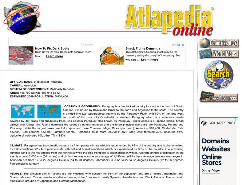
Atlapedia Online: Paraguay
Quick reference tool for finding facts, information, and statistics on the South American country of Paraguay. Click on the maps to enlarge them.
Latimer Clarke Corporation
Atlapedia Online: Suriname
This brief easy to use guide is a great starting point for doing research on the South American country of Suriname. Full of information and statistics on topics such as geography, climate, people, history, economy, and more. Click on...
Other
Country reports.org: Brazil Country Information
This great resource for students and teachers alike provides an abundance of information on the South American country of Brazil. Examines the countries customs and culture, history, geography, economy, population, government, and more....
Other
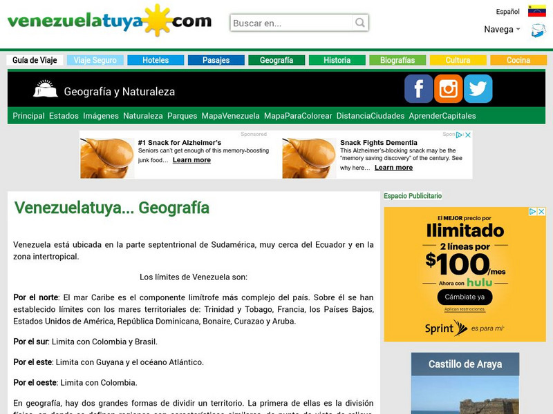
Venezuela: Geografia
This site from Venezuelatuya.com shows maps of the different geographical and political divisions of Venezuela. The first maps show geographical divisions. The last map shows political/administrative divisions along with Venezuela's...
Climate Zone
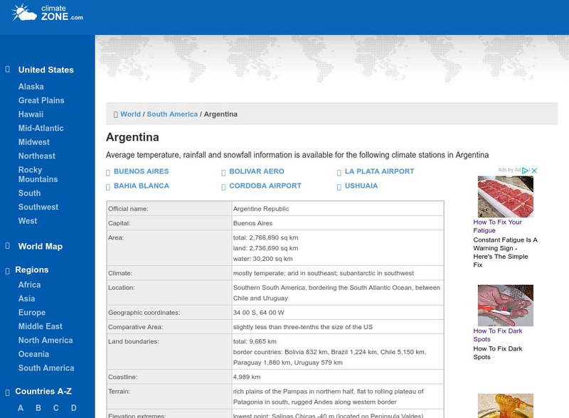
Climate Zone: Climate of Argentina
Tables for the different climate regions in Argentina show the average temperature, rainfall and snowfall in this South American country.
Climate Zone
Climate of Uruguay
Climate information for the South American country of Uruguay is found here. Average temperature, rainfall, and snowfall is broken down by months.
Other
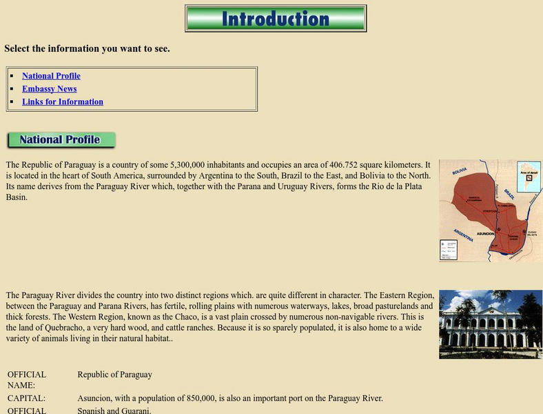
Paraguay: National Profile
Provides a brief but factual national profile of the South American country of Paraguay.
Hans Lohninger
Photo Globe: Bolivia
Presents many general country specific facts about Bolivia in a well organized chart form. This site is enriched by links to maps and an image of the Altiplano salt flats.
Latimer Clarke Corporation
Atlapedia Online: Bolivia
This resource on Bolivia is full of useful information to help with a research project. Covers geography, climate, people, history, economy, and more. Click on the maps to enlarge them.
Latimer Clarke Corporation
Atlapedia Online: Brazil
If you're doing a research paper on Brazil, this is a great place to begin. Has information about the history, people, geography, climate, economy, and more. Click on the map image to get more details and an enlarged view.
Other
Country Reports: Colombia
This useful guide provides general country information about Colombia including topics such as culture, history, geography, economy, population, government, symbols, and a map. Some pages are only available to subscribers.
Curated OER
American Museum of Natural History: Images: Venezuela
Labeled map of the countries of South America, in which Venezuela is highlighted.
Other
Sacred Sites in Peru
This website shows the location of 41 sacred places in Peru on a map of South America.
AllRefer
All Refer Reference: Uruguay: Background & Profile
Comprehensive set of links for learning about the South American country of Uruguay. Included is information about geography, culture, government, and the economy of Uruguay. Also provides links to a map and flag.
AllRefer
All Refer Reference: Paraguay: Background & Profile
Explore the South American country of Paraguay through this appealing site that furnishes facts about Paraguay's geography, culture, economy, and government. Includes a map.
AllRefer
All Refer Reference: Suriname: Introduction & Country Profile
Good resource for studying about the South American country of Suriname. Learn meaningful facts about its geography, culture, economy, government, and more. You can view a map and a flag, too.
AllRefer
All Refer: Reference: Colombia: Introduction & Country Profile
Profiled here is the South American country of Columbia. Basic facts are furnished for topics that include: geography, economy, government, people, military, history, and a map.
Other popular searches
- South America Map
- South America Physical Map
- South America Map 1500
- South America Map `500
- South America Map Worksheet
- Physical Map of South America
- South America Map 500
- South America Outline Map
- South America Map Skills
- South American Geography Map
- South America Map \`500
- Choropleth Map South America


