Curated OER
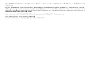
Reporting on a Battle
Students report on battles of the Civil War. In this American Civil War lesson, students conduct research that allows them to report on selected battles of the war. Student's newspapers should include eyewitness statements, photographs,...
Curated OER
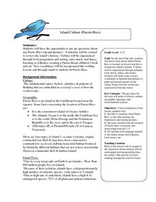
Island Culture: Puerto Rico
Students explore the culture of Puerto Rico. They create maps of Puerto Rico and the Caribbean. They work in small groups to research a decade in history and add drawings and pictures to a timeline of their decade. They practice...
Curated OER
Preservation of Civil War Battlefields
Eighth graders examine the importance of battlefield preservation. In this US History instructional activity, 8th graders participate in a virtual tour of battle sites. Students create a map of Gettysburg to see the...
Curated OER
Living Swamps, Bayous and Forests
Third graders explore interesting environments by exploring Louisiana. In this wetland lesson, 3rd graders utilize the web to research the State of Louisiana, the bayous in the area, and the Gulf of Mexico. Students write a journal entry...
Curated OER
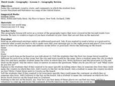
Geography Review
Third graders name the continent, country, state, and community in which they live. They locate Maryland and Baltimore on a map of the United States.
Curated OER
Soar to Salt Lake City
Pupils improve their cardio-respiratory fitness and to learn about our country. They move (skip, jog, walk, slide, gallop, etc.) for 2 minutes (approximately .2 mile). Fourth graders calculate our weekly mileage and are responsible for...
Curated OER
What is Tet?
Seventh graders examine the conflict in Vietnam. In this American History lesson, 7th graders analyze various pictures on the conflict. Students discuss their findings and feelings about the conflict in Vietnam.
Curated OER
States Around Ohio
Second graders locate Ohio on appropriate national and hemispheric maps. They write one sentence about the states that border Ohio including the names of the states and the direction that they are from Ohio.
Curated OER
Mechanics Hall
Students complete a variety of activities that go along with the study of and possible fieldtrip to Mechanics Hall (Black River Valley) in Worcester, MA. They examine the role industrial development had in society at the turn of the...
Curated OER
Africa
Second graders explore Africa. They label the popular places in Africa on a map. Students label the different cities and monuments that are popular in Africa. They discuss the similarities and differences between cities in Africa and...
Curated OER
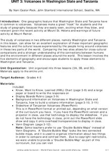
Volcanoes in Washington State and Tanzania
Students research volcanoes in Washington State and in Tanzania and create a poster on one specific volcano in each area. Once research is complete on each area, students compare and contrast volcanoes in Washington State and Tanzania.
Curated OER
Arthur Meets the President
Students discuss the role of the President. In this government lesson, students read Arthur Meets the President and complete a story map. Students develop new vocabulary related to the story.
Curated OER
An Encounter of Former Foes
Students examine a timeline on the internet showing the relationship between the American Government and the Nez Perce in the 19th Century. After looking at the timeline and included map, students answer questions.
Curated OER
Studies of the Eastern Worlds: Cultural Maps
Seventh graders look for similarities and differences in the culture of Eastern World countries by looking at the art from each country. They test their hypothesis and assumptions through further research in the media center. Finally...
Curated OER
Different Strokes For Different Folktales
Young readers use graphic organizers, such as Venn diagrams and story maps, to analyze a variety of folktales and the elements of a story. They use writing, sequencing activities, and creative art to identify the morals learned from a...
Curated OER
Lots of Lakes: Greater Than, Less Than
To set up this activity, your class explores Minnesota's nickname as the Land of 10,000 Lakes, and the back of the state quarter that features a Minnesota lake. Young mathematicians compare the number 1 to the number 10,000 with support...
Curated OER
Introducing Industries
If you are looking for a way to explore Michigan's resources, physical features, and more, this lesson is for you. After discussing Michigan and the Great Lakes, learners fill out a graphic organizer identifying the state's natural...
Indian Land Tenure Foundation
Respect for Land
Youngsters examine how people show respect and care for the land. Specifically, learners see how the Native Americans truly did care for and respect the land, and still do so to this day! They also explore how they themselves can care...
University of California
The End of the Cold War (1979-1991)
Scholars use primary and secondary documents, as well as video evidence, to investigate the end of the Cold War. After completing the final installment of an eight-part series, class members better understand the issues surrounding...
Curated OER
Comparing the Effects of El Nino and La Nina
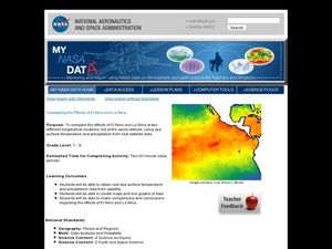
Students examine the differences between an El Nino and La Nina year. In this investigative lesson plan students create maps and graphs of the data they obtained.
Curated OER
You Can Depend On me
Discover the natural beauty of California. With a conservation bent, this activity delves into some of the attributes that make this state unique. Learners discuss Yosemite and the forest habitat. They focus on the things plants and...
Curated OER
Flying High in Ohio
Her is a lesson using the Ohio State Quarter. Pupils utilize beautifully-designed worksheets embedded in the plan, to study about the origins of aviation. Many of the pioneers of aviation were born in Ohio. They compare some of the...
Curated OER
Mesopotamia
Students map Mesopotamia. In this Geography lesson, students are introduced to Ancient Mesopotamia. Students use an atlas to label the defining features and areas of Mesopotamia on a map.
Curated OER
Cardinal and Ordinal Directions
Students use a compass to locate cardinal and ordinal directions. In small groups, they describe and create a journey for their classmates using their compass. Groups create a scale map for their classmates to follow and relate this...
Other popular searches
- United States Maps
- United States Maps Regions
- Northeast United States Maps
- 50 United States Maps
- Create United States Maps
- Western United States Maps
- Custom United States Maps
- Outline Maps United States
- Blank United States Maps
- United States Landforms Maps
- United States Geography Maps
- United States Political Maps
