Curated OER
Sequencing
Are you looking for a way to teach sequence of events in your narrative writing unit? Bring this lesson to your middle school class, as it prompts young writers to create a narrative sequence map of events that have happened at school...
National History Day
Challenging the Status Quo: Women in the World War I Military
Why are some so resistant to change? The status quo is often to blame for a lack of forward movement in society. Following the events of World War I, women in America suddenly had a voice—and were going to use it. Scholars use the...
Curated OER
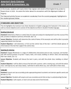
America’s Early Colonies: John Smith and Jamestown, Va
John Smith's 1616 letter to Queen Anne of England offers ELLs an opportunity to learn about a bit of early American history. The four-page packet includes the full text of the letter. In addition, the packet includes a worksheet...
Curated OER
A Geopoem About Alaska
Sixth graders conduct Internet research on the physical and human characteristics of Alaska. They compose and write geopoems about the state of Alaska, using a template.
Curated OER
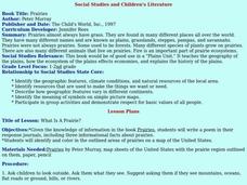
Social Studies and Children's Literature
Students write a journal in response to literature. The story that is read is about prairies. The subject of prairies becomes an object for research. The culminating activity is the making of a map where prairies exist in the United States.
Curated OER
BOUND TO BE NEW HAMPSHIRE
Students identify neighborhood, town, and state boundaries. They distinguish between natural and man-made boundaries. They identify major state geological features and explain how NH boundaries have changed over time.
Curated OER
Wisconsin Snapshots
Fourth graders study Wisconsin's culture and heritage. They research the state's symbols and identify leaves common to the Wisconsin area. They create a leaf booklet and visit the state park. They visit local farms and create nature maps...
Curated OER
States of Fitness
Learners participate in physical activities coordinating to divisions on a map.
Curated OER
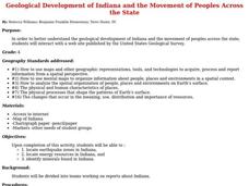
Geological Development of Indiana and the Movement of Peoples Across the State
Students are introduced to the geological development of the state of Indiana. Using the internet, they visit the U.S. Geological Survey and locate the earthquake zones in the state. In groups, they locate and identify the energy...
Curated OER
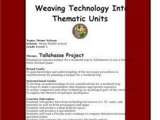
Tallahassee Project
Sixth graders gather information from technological sources such as TV, radio, and Internet as well as from newspapers and maps and produce a final printed report. They use the data to create a spreadsheet and read a Florida state...
Curated OER
Cultural America
Seventh graders investigate the cultural differences that can be found in America. They discuss what it means to be called an American. The patterns of migration to America are discussed with the use of maps and geographical terms....
Curated OER
Maps of Indian Territory, the Dawes Act, and Will Rogers' Enrollment Case File
Students, in groups, analyze one map at a time, first the 1885 map, then the 1891 map. After they have completed the analysis sheets, they compare the two maps and answer questions imbedded in the plan.
Curated OER
Where Is Japan? How Far Is That?
First graders use literature and hands-on activities with maps and globes to explain distance and tools used to measure distance. They select tools to measure various objects in the classroom, then apply those concepts to their map...
Curated OER
The Evening News - Rainforest Rescue
Fifth graders prepare a television briefing reflecting on their experiences in an earlier lesson in which they simulated surviving a crash into the Amazon and using maps to achieve rescue. They develop and present a summary of their...
Curated OER
The Lincoln-Douglas Debates of 1858: Interactive Map Activity
Students utilize an interactive map to explore the 1858 Senate campaign in Illinois. They examine how factors such as population, transportation, and party strongholds can affect campaign strategies. Students write an essay discussing...
Curated OER
The Lincoln-Douglas Debates of 1858: Interactive Map Activity
Eleventh graders utilize an interactive map to explore the 1858 Senate campaign in Illinois and how factors such as population, transportation, and party strongholds can affect campaign strategies.
Curated OER
GEOBOP State Standards
Third graders write a report and draw a picture of the state of their choice. They use the internet to research their state's flower and write a paragraph about it. They also practiced inserting a picture from the internet to a word...
Curated OER
Map on the Wall
Students examine the Ogallala aquifer water storage facility, identify rivers that refill the aquifer, and locate major cities near by. Students make maps of the area.
Curated OER
Lindenwald: Martin Van Buren
Students examine maps, readings, photos, drawings and political cartoons in order to describe the personality and character of Martin Van Buren as reflected by his lifestyle. They identify Van Buren's political views and political issues...
Curated OER
Camp Chase Confederate Cemetery
Pupils use maps, readings and photographs to locate prisoner of war camps in the North during the Civil War. They identify the camp's population sizes and mortality rates and how the camps' uses have changed over time.
Curated OER
The Role of International Organizations in Peacekeeping
Eighth graders are given two case studies. They determine if the United Nations should become involved, and if so, in what capacity? students explain their decisions based on a set of criteria determined by the class.
Curated OER
I Can Compass, Can You?
Students discover how to use geographic tools. In this compass lesson, students identify cardinal directions by appropriately using compasses along with a number of various maps.
Curated OER
Book: Latinos Today: Facts and Figures
Students, after reading Chapter 1 in the book, "Latinos Today: Facts and Figures," identify and characterize the four main ethnic/racial groups in America. They calculate and design a bar graph showing their populations by their...
Curated OER
End of the Line: What Happened to the Blue Ridge Railroad?
Sixth graders study the westward expansion and the role of railroad construction to the expansion. For this railroad history lesson, 6th graders complete KWL activity for the topic. Students view a PowerPoint about the growth of...
Other popular searches
- United States Maps
- United States Maps Regions
- Northeast United States Maps
- 50 United States Maps
- Create United States Maps
- Western United States Maps
- Custom United States Maps
- Outline Maps United States
- Blank United States Maps
- United States Landforms Maps
- United States Geography Maps
- United States Political Maps


