Curated OER
Ft. Vancouver the Fur Trade: A Skin for a Skin
Students study Fort Vancouver. They discuss trading and what is meant by "a skin for a skin." They complete math story problems that represent possible trading scenarios. They explore the Chinook Jargon trade language.
Curated OER
South Carolina Responds
Students examine and explain the events that lead up to the Revolutionary War. In this Revolutionary War lesson plan, students summarize and evaluate several of the major battles that defined the Revolutionary War.and major battles...
Curated OER
The Age of Exploration
High schoolers apply computer skills to gain further insight into early exploration. They analyze the role of each explorer and evaluate their importance. Students comprehend the Chronology of Discovery and Trade of early explorers. ...
Curated OER
African Safari
Seventh graders examine different countries in Africa to research. They choose one to concentrate their research on using the five themes of geography. They design a multimedia presentation that will make up the African safari.
Curated OER
World Map and Globe
Students locate and identify continents and countries. In this world map lesson, students locate and identify one country on each continent.
Curated OER
NAFTA Trade Unit
Students research the geography, economics and government of Canada and how that affects US/Canadian trade relations. In this NAFTA lesson, students play a game, read about Canadian history, and creat a graph.
Curated OER
Warm up to the Gulf Stream
Students find out the temperature difference between the Gulf Stream and the surrounding water. They locate the Gulf Stream on the infrared image of the eastern seaboard of the US.
Curated OER
Philadelphia's Important Contribution to the Lewis and Clark Expedition
Students analyze a primary source document (Jefferson's secret letter to Congress) and identify its objectives through the aid of focus questions. They complete a graphic organizer and write an article summarizing Philadelphia's...
Curated OER
Lorna Doone
Students examine life in the early 17th century by viewing a film called "Lorna Donne". They identify the politcal scene at the time while noting the major characters. They practice using new vocabulary as well.
Curated OER
Militia of the American Revolutionary War
Learners explore the role of the colonial militia n the American Revolutionary War. Using traditional and internet resources, students, complete a research worksheet designed to provide information about the militia. Worksheet is...
The Newberry Library
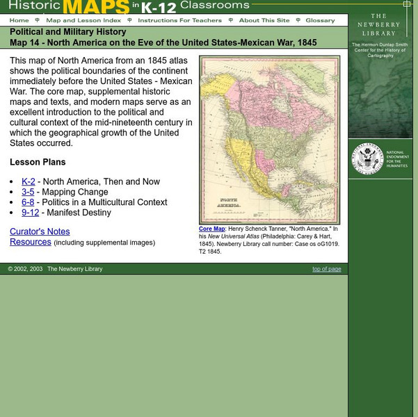
Newberry: Political and Military History: Map 14: u.s. Mexican War, 1845
Lessons for students in K-12 depicting North America prior to the United States and Mexico War, 1845. Students explore the mid-century political and cultural context in which the U.S. experienced growth and expansion.
University of Texas at Austin
Univerisity of Texas: Maps of the Americas
A large collection of maps of all countries in the Americas including relief maps, political maps, and reference maps.
Curated OER
Etc: Maps Etc: North America and West Indies, 1870
A map of North America, Central America, and the Caribbean to St. Thomas and St. John islands in 1870 showing political boundaries at the time, mountain systems and terrain, rivers, and major cities. The map is color-coded to show the...
Curated OER
Etc: Maps Etc: The Surface of North America, 1912
A base relief map from 1912 of North America, Central America, Greenland, and the Caribbean to Puerto Rico showing the general surface terrain, including mountain systems, highlands, plains, and major river systems of the region....
Curated OER
Educational Technology Clearinghouse: Maps Etc: North America, 1882
A map from 1882 of North America, Central America, and the Caribbean, showing political boundaries at the time, major cities, mountain systems, lakes, rivers, and coastal features of the region. The map is color-coded to show general...
Curated OER
Educational Technology Clearinghouse: Maps Etc: North America, 1901
A map from 1901 of North America, Central America, the Caribbean, and Greenland (Danish America) showing the political boundaries at the time. The map shows capitals and major cities, mountain systems, lakes, rivers, coastal features,...
Curated OER
Educational Technology Clearinghouse: Maps Etc: North America, 1906
A map from 1906 of North America, Central America, Greenland, and the Caribbean showing political boundaries at the time, major cities, mountain systems, rivers, and coastal features of the region. An outline map of Pennsylvania at the...
Curated OER
Educational Technology Clearinghouse: Maps Etc: North America, 1921
A map from 1921 of North America, Central America, Greenland, and the Caribbean showing political borders, capitals and major cities, railroads, canals, mountain systems, lakes, rivers, islands, and coastal features of the region. An...
Curated OER
Educational Technology Clearinghouse: Maps Etc: North America, 1905
A map from 1905 of North America, Central America, Caribbean and Greenland showing political boundaries at the time, major cities, lakes, rivers, and coastal features of the region.
Curated OER
Educational Technology Clearinghouse: Maps Etc: North America, 1909
A map from 1909 of North America, Central America, and the Caribbean showing political boundaries at the time, capitals and major cities, mountain systems, rivers, lakes, and coastal features.
Curated OER
Educational Technology Clearinghouse: Maps Etc: North America, 1919
A map from 1919 of North America, Central America, Greenland, and the Caribbean to Puerto Rico showing the political borders at the time, capitals and major cities, rivers, and coastal features.
Curated OER
Educational Technology Clearinghouse: Maps Etc: North America, 1922
A map from 1922 of North America, Central America, Greenland, and the Caribbean to Puerto Rico showing the political borders at the time, capitals and major cities, rivers, and coastal features.
Curated OER
Educational Technology Clearinghouse: Maps Etc: North America, 1920
A map from 1920 of North America, Central America, and Caribbean showing political boundaries, major cities, railroads, steamship routes with distances between major ports given, rivers, and coastal features.
Curated OER
Educational Technology Clearinghouse: Maps Etc: North America, 1904
A map from 1904 of North America, Central America, Greenland, and the Caribbean showing political boundaries at the time, capitals and major cities, mountain systems, lakes, rivers, and coastal features of the region.


