Curated OER
Plotting Earthquakes
Students plot earthquakes on a map. In this lesson on earthquakes, students will explore recent earthquake activity in California and Nevada. Students will plot fault lines and earthquake occurrences on a map.
Curated OER
Plotting Earthquakes
Students explore earthquakes. Using the National Earthquake Information Center website, students plot daily earthquakes on a map. They observe the magnitude of each earthquake. Students identify the pattern of earthquake locations and...
Curated OER
Earthquakes: Learn From the Past, Prepare for the Future
Students examine the destruction caused by earthquakes. In this community safety lesson, students examine the risk involved in living in an earthquake zone and how to prepare for future earthquakes.
Curated OER
Earthquakes And Fault Lines
Students discuss major causes of earthquakes and identify famous fault lines, access and map information about ten largest earthquakes in world from 1989 to 1998, and theorize about location of these earthquakes as they relate to Earth's...
Curated OER
Modeling Earthquake Data
Students evalute evolutionary theories and processe of Geology. They examine evidence that the movement of continents has had signicicant global impact, major geological events. Students evaluate the forces which shape the lithosphere...
Curated OER
Tectonic Plates, Earthquakes, and Volcanoes
Challenge geography classes to locate the major volcanoes and earthquake faults on a world map. In groups, they identify the pattern made and examine the relationship between the locations of the faults and volcanoes and tectonic...
Curated OER
Plate Tectonics: Movin' and Shakin'
Students are introduced to the causes of plate movements and the hazards they present. They plot the location of 50 earthquakes and 50 volcanic eruptions on a map and explore the relationships between plate tectonics, earthquakes, and...
Curated OER
The Earth Moves Under My Feet
Students study earthquakes, monitor seismic activity using the Web, and plot real-time activity. They examine movement of the Earth's tectonic plates. They create an earthquake preparedness project.
Curated OER
Deadly Shadow of Vesuvius
Students view a video clip about volcanoes. They collect data and create maps to see the relationship between volcanoes, earthquakes and plates. They share their maps with the class.
Science Matters
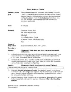
Earth Shaking Events
The world's largest measured earthquake happened in 1960 in Chile, reaching a terrifying 9.5 magnitude on the Richter Scale. The second instructional activity in the 20-part series introduces earthquakes and fault lines. Scholars...
Science Matters
Ring of Fire
Over a period of 35 years, earthquakes and volcanoes combined only accounted for 1.5 percent of the deaths from natural disasters in the United States. The 15th lesson in a 20-part series connects the locations of earthquakes and...
Curated OER
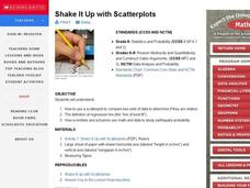
Shake It Up with Scatterplots
Middle schoolers identify how to use a scatterplot to compare two sets of data to determine if they are related. Then they identify and describe the definition of regression line (the "line of best fit"). Students also identify how...
Curated OER
Virtual Earthquake
Students visit a website that features online interactive geology and biology simulations. They observe and estimate the amplitude of the largest wave and transfer the information to a nomogram. Based on the nomogram students will...
Curated OER
Laurence Yep's, Dragonwings
Students discuss vocabulary words and compare definitions. They read chapters 6-9 of the novel, Dragonwings, and discuss point of view, and complete a plot diagram. Then they review the four types of conflict and identify the conflicts...
Science 4 Inquiry
Edible Plate Tectonics
Many people think they can't observe plate tectonics, but thanks to GPS, we know that Australia moves at a rate of 2.7 inches per year, North America at 1 inches per year, and the Pacific plate at more than 3 inches per year! Scholars...
Curated OER
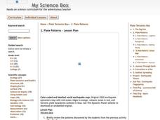
Plate Patterns
Students read about a volcano and use the latitude and longitude information to plot and describe the volcano on the map. They discuss patterns seen on the map. In addition, they color code a map according to zones, plates, etc.
Curated OER
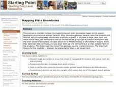
Mapping Plate Boundaries
Students discover plate boundaries based on the uneven geographic occurrence of geologic hazards. After discussing geologic hazards, students plot different sets of earthquakes and volcanic eruptions on maps.
Curated OER
Volcano's Deadly Warning
Students view a video clip on volcanoes. They work together to discover the concept of sine waves. They plot points on a chart and connect them to create the complex wave. They answer questions to complete the instructional activity.
Curated OER
Plate Tectonics Writing Assignment
Students complete a writing assignment focused on the use of data to support the theory of plate tectonics. They access data using the "Our Dynamic Planet" CDROM, capture images of the data plots, and incorporate them into their writing. T
Cornell University
Constructing and Visualizing Topographic Profiles
Militaries throughout history have used topography information to plan strategies, yet many pupils today don't understand it. Scholars use Legos and a contour gauge to understand how to construct and visualize topographic profiles. This...
Curated OER
The Tell-Tale Plume
Students examine hydrothermal vents. In this ocean lesson, students identify changes in physical and chemical properties of sea water caused by hydrothermal vents.
Science Education Resource Center at Carleton College
Serc: Plotting Earthquakes With Near Real Time Data
This lesson teaches the concept of plate tectonics. Students will access the United States Geological Survey National Earthquake Information Center and plot the longitude latitude and depth of earthquakes on a physiographic chart.
Science Education Resource Center at Carleton College
Serc: An Earthquake Lab for Physical Geology
This article from the Journal of Geological Education describes an activity in which students locate the epicenter of several earthquakes, plot the trends of the two faults involved, and determine the sense of motion along the plane of...
Science Education Resource Center at Carleton College
Serc: Writing About Plate Tectonics
This lesson is a writing assignment focussed on the use of data to support the theory of plate tectonics. It includes a scoresheet that was created for a calibrated peer review assignment. The assignment directs students to determine the...


