Hi, what do you want to do?
Curated OER
Oh, the Regions
Focus on the geography of Oklahoma. In this activity, learners compare different geographic regions in Oklahoma, create a collage to share their results, and identify important landforms throughout the United States, such as the...
Science Matters
Seismic Activity and California Landforms
By the 19th lesson plan in the 20-part series, scholars realize volcanoes and earthquakes are related to plate boundaries. The lesson plan extends and applies the knowledge by having individuals create a bumper sticker for one specific...
Curated OER
Discovering New Mexico
Seventh graders discuss the elements of maps and using basic linear measurement. They calculate the distance between the cities and create a simulated journey around New Mexico using a road map. They write out the directions for their...
Curated OER
The Earth's Crust
Students use clay to form models of the different landforms and then complete a data table using a map, atlas, or the Internet to locate famous landforms in the United States. Students complete various activities, writing down their...
Curated OER
Neither Wind Nor Rain
Here is another in the interesting series of lessons that use the special State Quarters as a learning tool. This one uses the North Dakota State Quarter. During this instructional activity, your class learns about the different patterns...
Curated OER
Rain Shadows and Sea Breezes
Students plot the average rainfall for a variety of cities in the United States. Using the map, they work together to determine patterns on which toxicants are transported through the air. They determine the impacts of various weather...
Curated OER
Natural Resources
Students explore Iowa geography and topographic maps. In this geography and topographic maps lesson, student investigate maps, newspapers, Iowa flora and fauna. Students gain an understanding of how different landforms can be identified...
Seussville
The Lorax's Earth Day
Add a touch of Dr. Seuss whimsy to your Earth Day celebration with six pages consisting of Earth-friendly, inspiring, and engaging activities designed to enhance the beauty of your school campus and showcase the famous story, The...
Curated OER
Climate Systems - Which Location Is Best For Me?
Students study the difference between weather and climate. In this climate systems lesson students search the Internet for the parts of the Earth's system, gather climate data and complete a challenge scenario.
Other
Topo Zone: Free Usgs Topo Maps for the Entire United States
A huge collection of topographic maps for each of the US states. Scroll down to see a map of the United States and click on the state you are interested in. From there, you can search for a particular location, choose a featured map, or...
NOAA
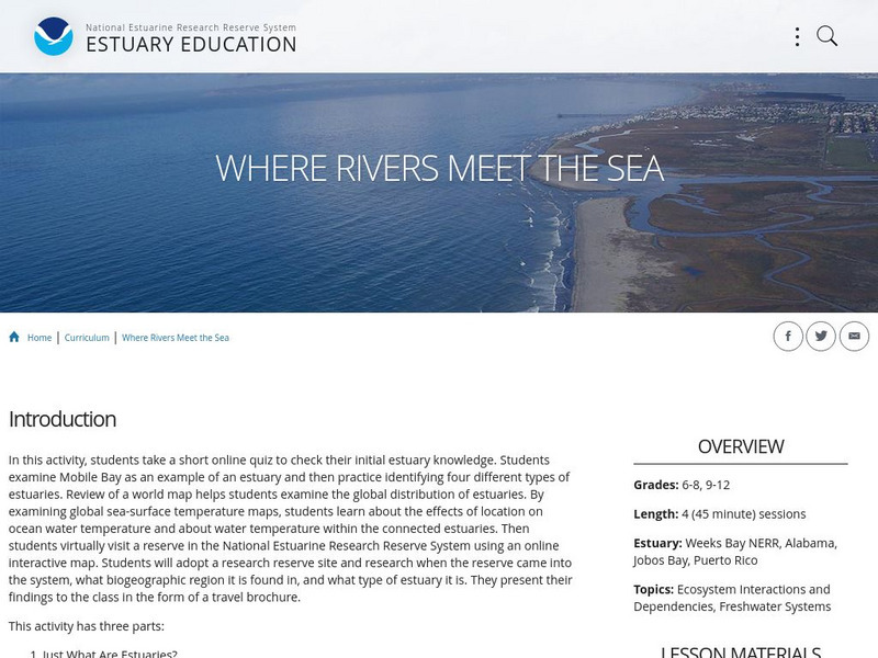
Noaa: Estuaries 101 Curriculum: Where Rivers Meet the Sea
A complete learning module where students watch an introductory video, take an estuary quiz, learn about landforms related to the environment, and use maps and real-time data to study estuary ecosystems in the United States.


