Curated OER
People Change the Landscape
Students examine ways in which humans have brought change to the natural environment. In this ecology and literacy lesson, students listen to the book Island Boy by Barbara Cooney. Students observe and define map-reading vocabulary as...
Curated OER
Weather Pals
Students study maps of the United States to locate weather pals from a list of schools. They communicate with Weather Pal schools through the use of closed circuit TV. Using weather data collected in their area, they exchange the...
Curated OER
Mapping Electricity
Students complete Internet research and use their map reading skills to learn about how the United States creates and uses electricity in different states. In this energy sources lesson, students study the mini map of energy usage in the...
Curated OER
River Run Through It
With vocabulary lists, worksheets, and more, this lesson sets learners on an exploration of the Hudson River area. They read an essay about the area, analyze a relief map of New York State, and complete a worksheet.
Curriculum Corner
Earth Day Book
This Earth Day, celebrate our beautiful planet with an activity book that challenges scholars to show off their map skills, complete a crossword puzzle, write acrostic poems, alphabetize, and reflect on their personal Earth-friendly habits.
Texas State Energy Conservation Office
Investigation: Concept Mapping Fuels
After reading an article, "Fuels for Everything," collaborative groups create a concept map poster of the transportation and non-transportation fuels. This makes a strong introduction to the different types of fuels used for transportion...
Curated OER
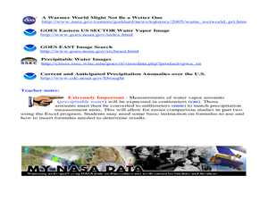
A Comparison Study of Water Vapor Data to Precipitation over North America
Students use NASA satellite data to compare water vapor over the United States. For this data analysis lesson students use an Excel spreadsheet to map their data.
Curated OER
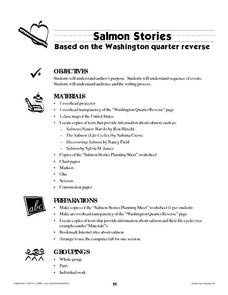
Salmon Stories
Work on author's purpose with this lesson, which focuses on sequence of events and audience as well. Middle and high schoolers describe the 50 State Quarters Program for background information. After discussing the images on the coins,...
Cornell University
Too Much of a Good Thing?
Continuing their study of beneficial insects, young entomologists discover where in the world some of these bugs are. By labeling, coloring, and using the scale on a map, pupils explore the territories and arrival of the Asian lady...
Curated OER
Grid Frame Mapping
Young scholars map and describe small area of the schoolyard and discuss habitats.
Curated OER
Unit V: Worksheet 2 - Constant Force
Physics learners studying force and acceleration practice solving eight problems with this assignment. They calculate acceleration and deceleration, net force, and distances required for stopping a moving object. Kinematics equations and...
National Wildlife Federation
Hot, Hotter, Hottest: Extreme Weather's Impact on Our Resources
How dry is it? It's so dry, the river only runs twice a week! Through an analysis of maps and discussions, pairs learn about droughts across the United States in the ninth of 12 lessons. They then read about, answer questions, analyze...
Curated OER
N is for Natural State
For any pupils who live in the state of Arkansas, this would be a fabulous educational experience to help them get to know their state better. Through the use of activities in literature, art, mathematics, science, social studies, and...
Curated OER
Where in the Latitude Are You? A Longitude Here.
Students distinguish between latitude and longitude on the map. In this mapping lesson, students participate in mapping skills to recognize spatial relationships, and where to find natural resources on the map. Students create their own...
Newspaper Association of America
Community Connections with Geography and the Newspaper
Understanding geography and government begins at the local level. Using maps and the parts of a newspaper, a unit plan introduces the concept of community. It starts with the creation of classroom and school maps, and then moves through...
Baylor College
Mapping the Spread of HIV/AIDS
Where is HIV/AIDS most prevalent and what are the current trends regarding HIV? Have groups work together to map the world's HIV/AIDS rates, then create a class map with all the data. Lesson includes cross-disciplinary concepts including...
Curated OER
Planting Time
Pupils research crops grown in the United States. In this agriculture lesson, students identify various crops cultivated across the United States as they create charts and maps that note the information.
Curated OER
The Asian American Experience in the United States: A Chronological History
Eleventh graders understand push-pull factor in Asian Amencan immigration. They identify patterns of Asian immigration to the United States and recognize their correlation to the concurrent socio-economic and political conditions of that...
Curated OER
Climate Patterns across the United States
Students articulate differences between climate and weather using examples in a written statement. Using climate data from across the country, they describe climate patterns for various parts of the United States on a map. Students...
Curated OER
The Crash Scene
Fifth graders explore geography by participating in a mapping activity. In this engineering instructional activity, 5th graders identify the differences between latitude and longitude and practice locating precise points on a globe or...
Teach Engineering
Incoming Asteroid! What's the Problem?
Oh, no! An asteroid is on a collision course with Earth!. Class members must rise to the challenge of designing a shelter that will protect people from the impact and permit them to live in this shelter for one year. In this first lesson...
US Environmental Protection Agency
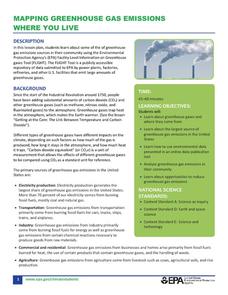
Mapping Greenhouse Gas Emissions Where You Live
After investigating the US Environmental Protection Agency's climate change website, your environmental studies students discuss greenhouse gas emissions. They use an online interactive tool to look at data from power production...
Curated OER
Science: Matter and Energy
Designed to use when teaching adults preparing for their high school equivalency exam, the resource integrates reading practice, writing, and analytical thinking in every lesson. The unit covers 23 topics, but it only includes three...
American Institute of Physics
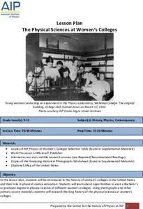
The Physical Sciences at Women's Colleges
After a brief introduction to the history of women's colleges in the United States and a discussion of the resistance such institutions faced, young scientists investigate seven traditionally women's colleges and their physics programs....


