Curated OER
Food on the Map
Students work together to examine the tastiest towns in the United States. After discovering the names of the equipment, they identify the seven continents. They take a survey and locate the cities and states of the foods mentioned.
Curated OER
The Fifty States
Students design a multimedia report on one or more of the fifty states.
Curated OER
Mapmaker, Make Me a Map!
Here is a well-designed, very thorough lesson plan on mapping for very young children. Within the six-page plan, you will find everything you need to implement the activity. They will identify various landforms found in Colorado on a...
Curated OER
Capitals, Oceans, And Border States
Students investigate geography by completing games with classmates. In this United States of America lesson, students examine a map of North America and identify the borders of Mexico and Canada as well as the Pacific and Atlantic....
Curated OER
People Change the Landscape
Students examine ways in which humans have brought change to the natural environment. In this ecology and literacy lesson, students listen to the book Island Boy by Barbara Cooney. Students observe and define map-reading vocabulary as...
Curated OER
Puerto Rico: The 51st State?
Learners explore Puerto Rico. In this Puerto Rico current events lesson, students conduct a Webquest to answer questions about Puerto Rico's culture. Learners discuss whether Puerto Rico is a country or a state, and defend their...
Curated OER
Bunyans Lesson Plan
Students practice their map skills. In this early childhood lesson plan, students use a map of the United States and identify the location of several natural wonders included in the book The Bunyans by Audrey Wood.
Curated OER
Where the Parks Are
Students research major league baseball in United States and Canada. In this baseball history lesson, students use a map of the United States and Canada to find and label each major league team. Students then color the home cities of the...
Curated OER
Looking at Human Struggle Through The Language Arts Curriculum: The Faces of Slavery
Sixth graders examine the use of slavery in the United States. Using a map, they draw the route of the Tecora and Amistad voyages. Individually, they write an essay describing their opinions on whether the Africans on the ships should be...
Curated OER
Maps Can Help Us
First graders explore the geography of Montana by analyzing geographic maps of the area. In this Native American reservation lesson, 1st graders discuss the similarities and differences between reservations in the state of Montana....
Curated OER
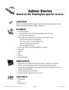
Salmon Stories
Work on author's purpose with this lesson, which focuses on sequence of events and audience as well. Middle and high schoolers describe the 50 State Quarters Program for background information. After discussing the images on the coins,...
Curated OER
Mapping Electricity
Students complete Internet research and use their map reading skills to learn about how the United States creates and uses electricity in different states. In this energy sources lesson, students study the mini map of energy usage in the...
Curated OER
Exploring Arizona's Biotic Communities Lesson 1: Mapping Biotic Communities
As part of a unit on Arizona's biotic communities, young ecology learners create a map. They describe how humans and animals adapt in their habitat. They take notes and create graphic organizers from articles they read. Beautiful maps,...
Curated OER
Mapping West Virginia
Fourth graders explore West Virginia. For this Unites States geography lesson, 4th graders discuss the type of land and the cities in West Virginia. Students create two overlays, with transparencies, that show the natural land and the...
Curated OER
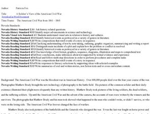
A Soldier's View of the American Civil War
Study and research the American Civil War in this explanatory writing activity. Middle schoolers complete six activities to learn about the American Civil War and soldiers' views of the war. The activity includes several options to...
Curated OER
N is for Natural State
For any pupils who live in the state of Arkansas, this would be a fabulous educational experience to help them get to know their state better. Through the use of activities in literature, art, mathematics, science, social studies, and...
Curated OER
U.S. Puzzle Map Bulletin Board
Students create cutouts of each state. They research different states noting their similarities and differences. They describe each state's location in relation to the state's surrounding them.
Curated OER
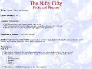
The Nifty Fifty- Facts and Figures
Students explore an assigned state. In this United States geography lesson plan, students identify facts and figures related to a particular state. Students use the Internet for research and create a PowerPoint presentation displaying...
Curated OER
Lights On ! Lights Off! Exploring Human Settlement Patterns
Third graders write informational paragraphs based on the settlement patterns of the United States. In this settlement lesson plan, 3rd graders read about population and how it affects where people settle next.
Curated OER
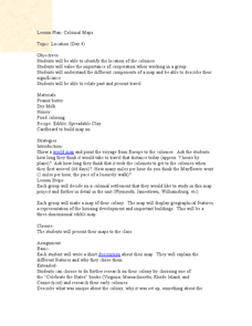
Colonial Maps
Students discover the history of America by identifying the traditional colonies. In this U.S. history instructional activity, students examine a world map and identify where the voyagers left from Europe to arrive at the United...
Curated OER
Mapping the News
Students explore cartography. In this map skills and map making lesson, Students work in groups to create wall size world maps including legends, compass roses, latitude and longitude, and physical features. Students collect current...
Curated OER
Research a State in the United States
Students research one state of the United States of their choice. Using the internet, they gather as much information about the state as possible along with appropriate images. They present their findings to the class in the form of a...
Curated OER
Literature Focus Unit: Civil War
Fourth graders complete a two-week unit on the U.S. Civil War and the Underground Railroad. They read the books "Follow the Drinking Gourd" and "Pink and Say," complete story maps, and dramatize a scene from "Follow the Drinking Gourd."...
Curated OER
United States Prepositions
In this prepositions worksheet, students use the clues to help them locate the positions of the state according to the prepositions given in each sentence.
Other popular searches
- United States Maps Regions
- Northeast United States Maps
- 50 United States Maps
- Create United States Maps
- Western United States Maps
- Custom United States Maps
- Outline Maps United States
- Blank United States Maps
- Maps, United States Rivers
- Maps United States Capitals
- Maps of the United States
- Maps United States


