Curated OER
Land Use and Lawmaking in California
Students design a plan for a housing development in their city. In this house development lesson plan, students observe pictures of land use, research lawmaking, and develop a plan for an environmentally friendly housing development in...
Curated OER
Scarcity of Land Throughout the World and in Hawaii
Students discuss the importance of "land." They review the four types of land classification--urban, rural, agricultural and conservation--and participate in an activity involving an apple that demonstrates the use of land in Hawaii....
National Wildlife Federation
Quantifying Land Changes Over Time Using Landsat
"Humans have become a geologic agent comparable to erosion and [volcanic] eruptions ..." Paul J. Crutzen, a Nobel Prize-winning atmospheric chemist. Using Landsat imagery, scholars create a grid showing land use type, such as urban,...
Curated OER
The Case of Vanishing Farmland
High schoolers consider decisions about how to use resources that are in short supply. Learners role-play different perspectives in a land-use simulation, and examine land use issues around the world. This interesting lesson sheds light...
Curated OER
Ecology Explorers: Historical Air Photo Interpretation
Students identify and analyze land use changes over time with historic aerial photographs, and classify different land use into categories.
National Wildlife Federation
Quantifying Land Changes Over Time in Areas of Deforestation and Urbanization
Is qualitative or quantitative research more convincing when it comes to climate change? In the eighth instructional activity during this 21-part series, scholars begin by performing a quantitative analysis of deforestation and...
Curated OER
Impervious Surfaces
Students comprehend impervious surfaces. They recognize the problems caused by impervous surfaces. Students observe how land use can influence impervious surfaces. They chose four of the seven basic land surface, students draw a picture...
Curated OER
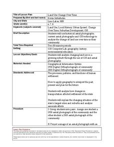
Land Use Change Over Time
Students use historical aerial photographs and current aerial photographs to compare the change over time to the land. In this land changing lesson plan, students analyze, compare, contrast, and list the land change in their own community.
Curated OER
The New Segregation
Young scholars use census data to analyze the racial and economic diversity of their community. They discuss the role of diversity within communities and the impact that land use decisions can have on the composition of a community.
Population Connection
The Human-Made Landscape
Agriculture, deforestation, and urbanization. How have human's changed the planet and how might we mitigate the effects of human activity on the planet? To answer these questions class members research the changes in human land use from...
Skyscraper Museum
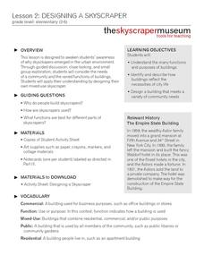
Designing a Skyscraper
Besides serving as awe-inspiring monuments of human achievement, skyscrapers are built to perform a wide range of functions in urban communities. The second lesson in this series begins by exploring the history of the Empire State...
Curated OER
Urbanization
Students examine the impact of urban change. In this Indiana history lesson, students read excerpts of The World Does Move by Booth Tarkington and then research the noted Web sites about the urbanization of Indianapolis. Students then...
Curated OER
Urban Changes
Students explore how landscapes undergo constant changes with urban development. They plan and build their own "city" by including features that have minimal resource demands to sustain the city itself.
Curated OER
Urbanization and Native Hawaiian Plants
Fourth graders research plants native to the Hawaiian Islands. Using the plants, they identify its purpose in the watershed and ways to help protect them from extinction. They survey a area of land and discover ways in which to bring...
Curated OER
Historical Air Photo Interpretation
Students identify and analyze land use changes over time with historical aerial photographs. They classify different land use into categories.
Curated OER
City Lesson Plan
Young scholars examine the patterns and processes of urbanization and describe patterns of urban land use. They choose one of five cities using riddles and research why this city is desirable. The groups make quizzes for each other on...
Curated OER
Geography, Ecology, and Folklife
Students identify how do geography and ecology influence a region's folklife. Then they investigate this question and consider how an outsider might view their own region in this lesson. Students also identify how the natural world, even...
Curated OER
They're Tilling that Field Behind the Mall
Unfortunately, the article for which this resource was written is not available. You can, however, find another current document on agriculture and urban development for your class to read together, and then still follow the suggested...
Curated OER
From Forest to Farm to Urban Forest
High schoolers participate in a group discuss revolving around urban development and their answers to worksheet questions. They analyze maps and historical records to compare and contrast the day to day activities of a forest manager.
Curated OER
Mapping My Community
Ninth graders are introduced to GPS technology. They complete fieldwork as they visit a specific area of their community to identify and map types of land use in the surveyed area. They use the collected data to create a digital map.
Curated OER
Water Walk
Students conduct a visual survey to discover information about local land use and water quality; document their findings by mapping and profiling the water body; and use this initial investigation to raise questions about local land use.
Curated OER
Looking for the Dirty Scoop
High schoolers read "The Negative Effects of Urban Sprawl." They discuss the main forms of transportation in their city and conduct research about the development of their community in terms of land use. Students sketch a map of their...
Curated OER
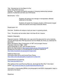
Development on the Edge of a City
Students explore and analyze examples of changing relationships between patterns of settlement and land use in the state of Minnesota. They view different avenues of transportation, cities, suburbs, city planners and suburbanization.
Curated OER
Selecting Trees for Urban Environments
Young scholars consider the best place to plant a tree. In this environment lesson, students identify urban locations that are compatible with particular tree types. Young scholars decide what trees would go where and why they would...


