Curated OER
Using Vegetation, Precipitation, and Surface Temperature to Study Climate Zones
Students begin their examination of the climate zones found around the world. Using a software program, they identify the relationship between the vegetation, climate and temperatures of the different zones. They also plot coordinates...
Curated OER
Scientist Tracking Network
Students correlate surface radiation with mean surface temperature of several geographic regions. They observe how these parameters change with latitude and construct an understanding of the relationship of solar radiation to seasonal...
Curated OER
Comparing Amount of Rainfall in Different Geographical Areas
Learners construct rain gauges and use them to log rainfall in their school zone, local city, and region and then compare and discuss them by plotting this information.
Curated OER
A Sense of West Virginia
Students consider their perceptions of the world through their 5 senses while visiting the West Virginia State Museum. In this West Virginia history instructional activity, students discover how knowing about the past helps with their...
Curated OER
Creating and Analyzing Graphs of Tropospheric Ozone
Students create and analyze graphs using archived atmospheric data to compare the ozone levels of selected regions around the world.
Virginia Department of Education
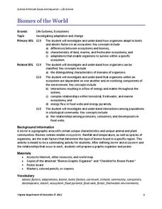
Biomes of the World
Incorporate knowledge about biomes and ecosystems in multiple ways while encouraging creativity. Emerging ecologists collaborate and perform research to complete a graphic organizer about various biomes of the world. They conclude the...
Agriculture in the Classroom
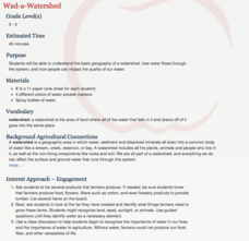
Wad-a-Watershed
What kind of impact do humans have on watersheds? Find out in a lesson that defines, explores, and promotes ways to protect our watersheds. The ultimate goal of the lesson is for learners to discover how a watershed is impacted by...
Curated OER
NIGHT AND DAY: DAILY CYCLES IN SOLAR RADIATION
Students examine how Earth's rotation causes daily cycles in solar energy using a microset of satellite data to investigate the Earth's daily radiation budget and locating map locations using latitude and longitude coordinates.
Curated OER
The Great MPA Debate
Students study the 'Marine Protected Areas' process. In this ocean lesson students work in groups, conduct research and present it to the class.


