DLTK
New York State Map
Provides a blank map of New York. Teachers will find many uses for this in the classroom. Students will enjoy coloring it and locating different parts of the state.
DLTK
Michigan State Map
Provides a blank map of Michigan. Teachers will find many uses for this in the classroom. Students will enjoy coloring it and locating different parts of the state.
DLTK
Minnesota State Map
Provides a blank map of Minnesota. Teachers will find many uses for this in the classroom. Students will enjoy coloring it and locating different parts of the state.
DLTK
Mississippi State Map
Provides a blank map of Mississippi. Teachers will find many uses for this in the classroom. Students will enjoy coloring it and locating different parts of the state.
DLTK
Missouri State Map
Provides a blank map of Missouri. Teachers will find many uses for this in the classroom. Students will enjoy coloring it and locating different parts of the state.
DLTK
Tennessee State Map
Provides a blank map of Tennessee. Teachers will find many uses for this in the classroom. Students will enjoy coloring it and locating different parts of the state.
DLTK
Wisconsin State Map
Provides a blank map of Wisconsin. Teachers will find many uses for this in the classroom. Students will enjoy coloring it and locating different parts of the state.
DLTK
Texas State Map
Provides a blank map of Texas. Teachers will find many uses for this in the classroom. Students will enjoy coloring it and locating different parts of the state.
Enchanted Learning
Enchanted Learning: Alabama Facts, Map and State Symbols
Do you need information about Alabama? Find facts, a map, and state symbols. Pictures of many of the state symbols are included.
Enchanted Learning
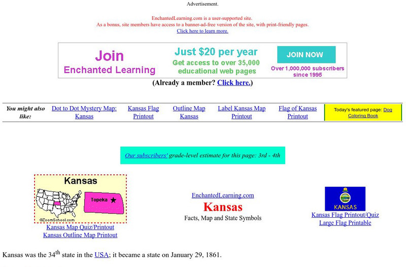
Enchanted Learning: Kansas Facts, Map and State Symbols
A colorful site with basic information about Kansas. Includes a map, facts about the state, and information about the state symbols.
Houghton Mifflin Harcourt
Holt, Rinehart and Winston: World Atlas: United States
Features a detailed map of the United States with some basic facts. Click on each state name to get even a more detailed map and information.
Other
Quiz Hub: u.s. Map Game
Test your knowledge of United States geography by playing this U.S. map game. Game is timed.
Lizard Point Quizzes
Lizard Point: Western Usa: States Quiz
Test your geography knowledge by taking this interactive quiz over the western United States.
Texas Instruments
Texas Instruments: Navigating the Usa With the Coordinate Plane
The students will be plotting points on the United States Map. This background and activity could be used and/or modified to fit any social studies class. Students could explore topics ranging from graphing coordinates in pre-algebra to...
PurposeGames
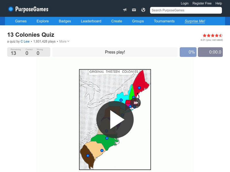
Purpose Games: Can You Identify the 13 Original Colonies of the Usa?
Play this interactive game to test your knowledge of the original thirteen colonies. Can you find them on a map?
University of Washington
University of Washington: Communist Party Usa History and Geography
Maps and charts detail electoral support, showing the number and percentage of votes for Communist candidates in every county and state from 1922 to 1946, party membership by state or district from 1922-1950, the intense geography of...
USA Today
Usa Today: Michelle Obama Aims to End Child Obesity in a Generation
As one of her main missions as First Lady, Michelle Obama has taken on the fight against child obesity. The official program called Let's Move is outlined in this article. Informative links provide additional related facts and details...
EL Education
El Education: Springfield, Usa an Atlas
Students from Springfield, Massachusetts learn about geography by creating maps and gathering information about the cities and towns named Springfield throughout the United States of America. Students gather information through book and...
DLTK
Maine State Map
This blank map of Maine can be used for geography and other social studies lessons.
DLTK
Massachusetts State Map
Provides a blank map of Massachusetts. Teachers will find many uses for this in the classroom. Students will enjoy coloring it and locating different parts of the state.
DLTK
South Dakota State Map
Provides a blank map of South Dakota. Teachers will find many uses for this in the classroom. Students will enjoy coloring it and locating different parts of the state.
Other popular searches
- Usa Maps
- Climate Maps Usa
- Usa Canada Maps
- Blank Usa Maps
- Maps of Usa Regions
- Choropleth Maps of Usa
- Northwest Usa Maps


