Curated OER
Use Google Maps to Teach Math
Capture the engagement of young mathematicians with this upper-elementary math lesson on measuring time and distance. Using Google Maps, students first measure and compare the distance and time it takes to travel between different...
Radford University
Escape from the Zombie Apocalypse - Exploring Quadrilaterals through Google Maps and Google Earth
Prepare for the zombie apocalypse ... by studying quadrilaterals? Given a map of an imaginary town, scholars identify quadrilaterals created by streets. They then use Google Earth and Google Maps to find parallelograms, rectangles,...
Teach Engineering
Where Are the Plastics Near Me? (Mapping the Data)
The last activity in a nine-part series has teams create a Google Earth map using the data they collected during a field trip. Using the map, groups analyze the results and make adjustments to the map to reflect their analysis. A short...
Teach Engineering
Searching for Bigfoot and Others Like Him
Individuals create a GIS data layer in Google Earth that displays information about where one might find seven different cryptids. The class members research to find data on cryptid sightings they can include in their data layer.
Teach Engineering
What is GIS?
Is GIS the real manifestation of Harry Potter's Marauders Map? Introduce your class to the history of geographic information systems (GIS), the technology that allows for easy use of spatial information, with a resource that teaches...
CK-12 Foundation
Whole Number Multiplication: Multiplication Map
How many miles did a car travel if it traveled at 55mph for three hours? What are the factors for this multiplication sentence? These are the questions young mathematicians must solve using a multiplication map.
101 Questions
Home Depot
Household emergencies often require supplies from a home improvement store. Pupils view a map showing a home and three different stores to determine which is the closest. Follow-up activities find close food options as well.
Teach Engineering
Projections and Coordinates: Turning a 3D Earth into Flatlands
Introduce your class to map projections and coordinates, the basics for the work done in a GIS, with an activity that uses Google Earth to challenge learners to think about the earth's shape.
Curated OER
Around the Town
In the world of GPS, make sure your kids can still read maps and determine distances between locations. You will need neighborhood street maps, ideally of your class' home turf. Ask kids questions about different locations in relation to...
Teach Engineering
Let's Get it There Fast
Are planes the best shipping method? Using maps, pupils determine the fastest mode of transportation between two cities. Given a list of items to ship, groups decide the best shipping method to finish the 18th segment of a 22-part unit.
California Mathematics Project
Meteorology
See how estimation is essential to making temperature weather maps. Scholars use ratios and rates of change to estimate temperatures at locations where temperature readings have not been made. They connect this idea to linear functions.
National Nanotechnology Infrastructure Network
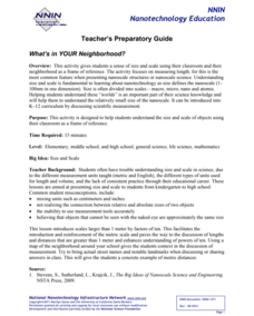
What’s In Your Neighborhood?
Chart your way to an understanding of nanoscale. Using a Google map, learners estimate a radius around their location of 1,000 and 1,000,000 meters. Predicting what 1,000,000,000 meters would look like takes them off the charts!...
Curated OER
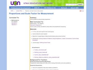
Proportions and Scale Factor for Measurement
Students explore the concept of proportion. In this proportion lesson, students use google maps to find the distance the their school is from home. Students discuss what a scale factor is through teacher led discussion. Students...
Curated OER
Around the Town
Students explore reading maps. In this map reading lesson, students compare distances fom place to place. Students work in groups and predict the distance then find the actual distance using string or rulers.
Teach Engineering
What's Wrong with the Coordinates at the North Pole?
Here is an activity that merges technology with life skills as individuals use Google Earth to explore the differences between coordinate systems and map projections. The self-guided activity is the fourth segment in a nine-part unit....
Curated OER
Four Color Map
Young scholars explore geometry by completing a color puzzle. For this shape identification lesson, students utilize deductive reasoning to complete a Google SketchUp puzzle with trapezoid, triangles and rectangular shapes. Young...
Curated OER
A Full Load
Students calculate the shipping costs between two destinations. In this math lesson, students determine the distance between two places using google map. They calculate the amount of gas needed to get to a specific destination.
Curated OER
How Far Did They Go?
Students create a map. In this direction and distance instructional activity, students come up with familiar places in the community and calculate the distances from these places to the school. Students create a map that displays these...
Flipped Math
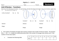
Unit 8 Review: Functions
Let's finish a functional review. Pupils work through 31 items to review the concepts learned in Unit 8. Scholars determine whether a mapping is a function and identify the domain and range. Using function notation, individuals then...
Curated OER
Migration of the Neo-Tropical Songbirds
Fifth graders plot the migration of birds using Google Earth. In this lesson on bird migration, 5th graders work in groups to plot the migration of a group of birds using Google Earth. Students present and discuss their findings and look...
Curated OER
NUMB3RS Activity: Riding the Waves
High schoolers use the TI-Navigator system to explore vector fields and make predictions. They also identify what a vector field is and that it represents the movement of water. Pupils try to determine where a bottle floating might have...
EngageNY
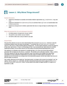
Why Move Things Around?
Explore rigid motion transformations using transparency paper. Learners examine a series of figures and describe the transformations used to create the series. They then use transparency paper to verify their conclusions.
Mathematics Vision Project
Circles: A Geometric Perspective
Circles are the foundation of many geometric concepts and extensions - a point that is thoroughly driven home in this extensive unit. Fundamental properties of circles are investigated (including sector area, angle measure, and...
California Mathematics Project
Reflections
Reflections are the geometric mirror. Pupils explore this concept as they discover the properties of reflections. They focus on the coordinates of the reflections and look for patterns. This is the third lesson in a seven-part series.
Other popular searches
- Scale Factor Google Maps
- Geography Google Maps
- Venn Diagram Google Maps
- Google Maps Science
- Google Maps 13 Colonies


