Curated OER
Indians of the Pacific Northwest
Students organize acquired information and make inferences as to the kind of habitat and its probable location. They identify and replicate art forms characteristic of the Pacific Northwest coast involving the use of ovoids and "u forms".
Curated OER
Discovering the Northwest Territories Through the Five Themes of Geography
Students use the Atlas of Canada to find basic geographical information about the Northwest Territories.
Richmond Community Schools
Map Skills
Young geographers will need to use a variety of map skills to complete the tasks required on this learning exercise. Examples of activities include using references to label a map of Mexico, identify Canadian territories and...
Curated OER
Basket Making
Students create a basket. In this basket making instructional activity, students explore the Ojibway culture and discover the history of basket making. Students design and construct a basket.
Curated OER
Capital Questions
In this Canadian capitals worksheet, learners answer 15 multiple choice questions regarding the capitals of Canada's provinces and their geography.
Curated OER
Canada Day!
In this reading comprehension Canadian history worksheet, students read a multi paragraph passage about the holiday in Canada. Students answer 12 questions.
Curated OER
Columbian Folklore
Students learn about Columbian Folklore and make a mini documentary based on their own cultural background. In this culture lesson plan, students include Canadian cultural diversity in their presentation.
Curated OER
Hi - I Am!
Seventh graders examine the 13 members of the Canadian Parliament. They research regional issues and concerns and how they are addressed in the Parliamentary system, and present it to the class in the form of a Powerpoint presentation or...
Curated OER
Oh Canada!!
Fifth graders become familiar with the people, culture, government and geography of Canada. For this Canadian people and places lesson, 5th graders research and create a map of Canada reflecting their gathered...
Curated OER
Spotlight on Canada
For this Canadian facts worksheet, students use the Internet or library to help them respond to 15 short answer, multiple choice, and true or false questions.
Curated OER
Treaties- Grade 7
Seventh graders examine treaties pertaining to the Canadian natives. In this Canadian history lesson, 7th graders research and discuss the negotiations that took place between the First Nations cultures and the Canadian government over...
Curated OER
Globe Skills Lesson 5
In this map skills learning exercise, students read a text selection about locations during the American Revolution and then respond to 8 fill in the blank questions.
Curated OER
Canada...A Visual Journey
Students work together to analyze the six natural regions of Canada. Using this information, they create a visual representation of each region on a large wall map and present it to the class. They must identify five key points of each...
Curated OER
Who are the Women of the Pacific North West: 1830-1870?
Students view a picture from the Vancouver National Historic Reserve and discuss the people in the picture. They locate Cromwell's Map and discuss the villages located close to Fort Vancouver. Students read information regarding the role...
Other
Canadian Tourism Commission: Maps canada.travel
This interactive map is an excellent student and teacher resource. Select Places to Go to show regions, provinces or territories and capital cities. Hover over the area to get links to more detailed information. Get up to the minute...
McGill University
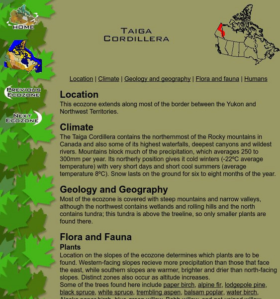
Mc Gill University: Canadian Biodiversity: Ecozones: Taiga Cordillera
The Taiga Cordillera extends along the border of the Yukon and Northwest Territories. This is a brief, concise description of the location, climate, geology and flora and fauna. It includes a collection of images of the landscape as well...
McGill University
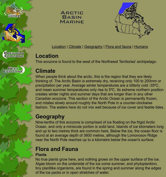
Mc Gill University: Canadian Biodiversity: Ecozones: Arctic Basin Marine
The Arctic Basin Marine ecozone is found to the west of the Northwest Territories archipelago. This brief, concise description includes a collection of images of the animals and birds native to the location. Many of the images include...
McGill University
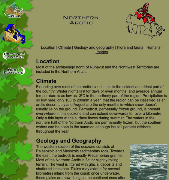
Mc Gill University: Canadian Biodiversity: Ecozones: Northern Arctic
A brief, concise description of the chain of islands that form most of the archipelago north of Nunavut and the Northwest Territories. It includes an excellent collection of images of the landscape as well as those of animals and birds...
McGill University
Mc Gill University: Canadian Biodiversity: Ecozones: Southern Arctic
A brief, concise description of the Southern Arctic ecozone which extends across the northern edge of the continental Northwest Territories and Quebec. It includes a collection of images of the landscape as well as those of animals and...
McGill University
Mc Gill University: Canadian Biodiversity: Ecozones: Taiga Plains
The Taiga Plans are centered around the Mackenzie River in the western Northwest Territories. This is a brief, concise description of the location, climate, geology and flora and fauna. It includes a collection of images of the landscape...
Other
Canadian Parks and Wilderness Society: Nahanni
This resource provides information about the conservation of Nahanni National Park.
Wikimedia
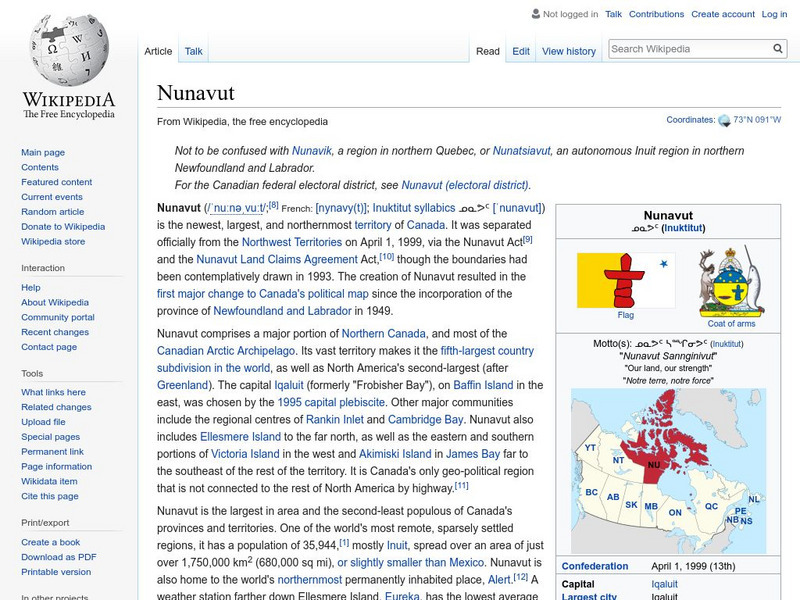
Wikipedia: Nunavut
A third Canadian northern territory was created in 1999 when the Northwest Territories was divided, thus forming Nunavut. This article covers its history, symbols, demography, geography, and much more.
McGill University
Mc Gill University: Canadian Biodiversity: Ecozones: Arctic Archipelago Marine
The Arctic Archipelago Marine ecozone includes Hudson Bay and most of the water surrounding the islands of Nunavut and the Northwest Territories. This is a brief, concise description of the location, climate, geology, and flora and...
Canadian Museum of Nature
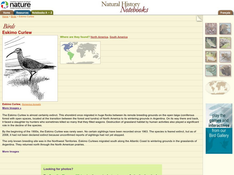
Canadian Museum of Nature: Eskimo Curlew
The Eskimo curlew, which migrated between the Northwest Territories and Argentina is believed to be extinct, although there are occasional reports of possible sightings. The reasons for its decline and a drawing of one can be found here.


