Owl Teacher
Imaginary Nation: Constructing a Map
Your young geographers will combine what they have learned about the five themes of geography and their inner creativity to design a physical map for an imaginary nation.
Space Awareness
The Sun Compass of the Vikings
Evidence shows the Vikings likely navigated by using a simple sundial to find their course. Videos, a short story, and discussion help bring this time period to life as they study European history with a hands-on experiment. Scholars...
Curated OER
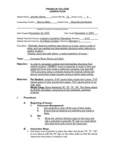
Compass Rose: Dance and Quilt
Fourth graders identify the cardinal directions by listening to a song entitled, "Stand," and by reviewing the lyrics to that song. They notice the cardinal directions that are posted around the classroom. They perform the motions as...
Curated OER
Compass Rose for the New Millennium
Sixth graders are introduced to the concepts of a compass rose and how it used in relationship to reading maps in geography. The lesson is meant to build upon prior knowledge and skills.
Curated OER
U.S. Geography- The Northeast
Students investigate the geography of the Northeast states. In this map skills instructional activity, students are shown a map of the Northeast states and identify the state names and borders. Students construct individual maps of the...
Curated OER
Mapmaker, Mapmaker, Make Me a Map
Second and third graders practice with basic map skills. They create their own map including a legend and a compass rose. This fabulous plan has many excellent websites linked which allow learners to explore maps of all kinds; including...
Curated OER
Map It Out
Third graders create obstacle course maps. They lay out their course on the playground, using symbols for trees, fences, etc, Students, in groups, exchange maps and then follow the courses.
Curated OER
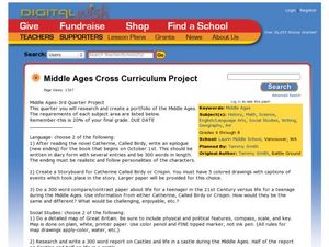
Middle Ages Cross Curriculum Project
Middle schoolers complete several projects on the Middle Ages. In this world history lesson, students complete language arts, social studies, math, and science projects. Some of these include: comparing a teenager's life now to that in...
Curated OER
Gingerbread Map
Second graders read the book Gingerbread Baby, identify local features and cardinal directions on a map, and then construct their own map. In this mapping lesson plan, 2nd graders construct their own map in groups based on where the baby...
Curated OER
Maps, Charts, and Graphs
Students define key geographic terms and track a hurricane on a map. They examine various types of maps and find locations on them,including rivers, cities and mountains.
Curated OER
Where in the World? The Basics of Latitude and Longitude
Students are introduced to the concepts of latitude and longitude. In groups, they identify the Earth's magnetic field and the disadvantages of using compasses for navigation. They identify the major lines of latitude and longitude on a...
Curated OER
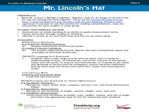
Mr. Lincoln's Hat
Bring out the inner artist with this Abraham Lincoln lesson. Elementary students work on a home project creating a hat similar to Abraham Lincoln's hat. They will use geometry and measurement to create the scale of the hat, then...
Curated OER
A Class Census
Students recognize that data represents specific pieces of information about real-world activities, such as the census. In this census lesson, students take a class and school-wide census and construct tally charts and bar graphs to...
Curated OER
European Explorers: Research Project
What will your students choose to include in their explorer's treasure chest? Youngsters research an early European explorer and gather items to reflect their research, such as a detailed map of the explorer's voyages, portrait,...
Curated OER
Yo Ho, Yo Ho, A Pirate's Map for Me: An Original Story
Students read Blackbeard and brainstorm their knowledge of maps. In this language arts and geography lesson, students use landmarks on their playground to review north, south, east and west and discuss the compass rose. Students read...
Curated OER
Labeling a Map of Australia
Third graders label a map of Australia. Using the internet, they research the history and maps of the continent and print a blank map. They review on how to use a compass rose and legend. In groups, they create a brochure to share...
Curated OER
Going, Going, Ghost
Third graders research ghost towns. In this geography instructional activity, 3rd graders locate ghost towns on a map and choose one location to research. Students construct a research paper and present it to the class.
Curated OER
Pacific Atolls and Island Groups
Learners construct, interpret and translate maps and geographic data. Given a worksheet, students identify an island, an atoll, a scale, and a compass rose. Learners grid systems, legends, and symbols. They use the map to find answers to...
Curated OER
Geography: Islands and Alcatraz
Students, in groups, create maps of islands including map keys and compass roses. They compare and contrast their island communities with that of the island prison, Alcatraz. Students select from a series of projects, including writing...
Curated OER
Draw A Coastline
Students identify, locate and draw at least ten different geographical features on a map. Using the map, they must make it to scale and include their own legend and compass rose. They share their map with the class and answer questions.
Curated OER
Wilderness Training
Learners explore how to prepare for a wilderness journey. In this wilderness survival instructional activity, students construct a compass from a magnet and a sewing needle.
Curated OER
"it's All in the Cellar"
Seventh graders examine the process of constructing a site plan map at archaeological sites. They discuss the process of mapping techniques and calculation of percentages, create a plan site map of a cellar at Jamestown, and calculate...
Royal Geographical Society
An Introduction to Maps
First graders are introduced to a variety of maps such as globes, street maps, atlases, and different types of floor plans. The focus of the lesson requires individuals to create their own plan of the classroom using the PowerPoint...


