Curated OER
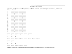
Canada Eh? Pre/Post Tests on Canada Using GPS
Young scholars participate in a GPS activity and answer questions about Canada. In this Canada lesson, students identify location by using a GPS Unit and latitude and longitude. Young scholars find an Inuksuk (station) and a complete...
Curated OER
Rubber Duckies and Ocean Currents
Students explore marine life by conducting a rubber duck experiment. In this water currents lesson, students practice identifying latitude and longitude coordinates on a map and define the currents of major oceans. Students discuss the...
Curated OER
The Sounds of Samba
Students research the origins of Samba in Brazil using the internet. After defining new vocabulary, they locate the cities in Brazil using latitude and longitude which practice the Samba. In groups, they compare and contrast the...
Curated OER
Mapping the News
Students explore cartography. In this map skills and map making lesson, Students work in groups to create wall size world maps including legends, compass roses, latitude and longitude, and physical features. Students collect current...
PHET
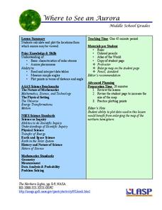
Where to See an Aurora
Where can you see an aurora in North America? After completing an astronomy activity, scholars can locate the exact coordinates. Pupils plot points of the inner and outer ring of the auroral oval and answer questions based on their...
US Mint
Absolutely and Relatively: The Puerto Rico Quarter Reverse
How much does your class know about Puerto RIco? How much can they learn from the back of a 2009 quarter? Use the coin, part of a series of quarters that depict US territories, to teach learners about the geography, culture, and history...
Curated OER
Japan: Land of the Rising Sun
Students locate Japan on a globe, name the major physical features, and describe the physical environment. They survey the differences and similarities between the life and culture of Japanese young people and American young people.
Curated OER
Comparison of Snow Cover on Different Continents
Students use the Live Access Server (LAS) to form maps and a numerical text file of snow cover for each continent on a particular date and analyze the data for each map, corresponding text file to determine an estimate of snow cover for...
National Wildlife Federation
I’ve Got the POWER Wind Energy Potential at Your School
The 20th instructional activity in a 21-part series connects the wind data and expectations of a turbine to whether such devices should be built in your area. Scholars begin with estimating the wind potential at school by using long-term...
National Wildlife Federation
I Speak for the Polar Bears!
Climate change and weather extremes impact every species, but this instructional activity focuses on how these changes effect polar bears. After learning about the animal, scholars create maps of snow-ice coverage and examine the yearly...
Curated OER
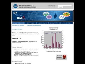
Creating Climographs
Students use satellite data to compare precipitation and surface temperatures on different islands. For this satellite lesson students create graphs and explain the differences between weather and climate.
University of Colorado
Phases of Charon
Pluto, although no longer considered a planet, has five moons. Pluto's moon, Charon, is the focus of a resource that describes how the moon is viewed from the surface of Pluto. Photos help individuals see how Charon would look at...
Curated OER
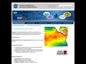
Comparing the Effects of El Nino and La Nina
Students examine the differences between an El Nino and La Nina year. For this investigative lesson students create maps and graphs of the data they obtained.
Curated OER
Solar Cell Energy Availability From Around the Country
Students determine areas that are the most likely to produce solar energy by using NASA data. In this solar energy lesson students analyze plots and determine solar panel use.
Curated OER
Creating Station Models
Young scholars review weather conditions at various cities and create station models on a weather map.
Curated OER
'Tis a Long, Long Way to Tipperary!
Learners practice finding the location of cities across the world by using an interactive Web site, and figure out the world's time and the value of time zones the world over.
Curated OER
Seasonal Cloud Cover Variations
High schoolers, in groups, access data from the NASA website Live Access Server regarding seasonal cloud coverage and the type of clouds that make up the coverage. They graph the data and make correlations between types, seasons and...
Curated OER
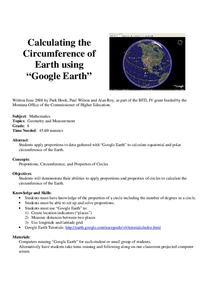
Calculation the Cricumference of Earth using "Google Earth"
Eighth graders investigate properties of circles. In this eight grade mathematics lesson, 8th graders apply proportional reasoning to data gathered with “Google Earth” to calculate equatorial and polar circumference of the Earth.
Curated OER
LAND USE ISSUES
Students relate math with real life situations. They identify and plot points on a grid map. They identify and locate the Drop Box Sites.
Curated OER
How High Is That?
Students explore the National Spatial Reference System. For this vertical position lesson, students will discuss the use of vertical position data and solve practical problems involving geographic positioning.
Curated OER
Absolute Location Using GPS Technology
GPS is great for identifying your position, but is it finding your relative or absolute location? Ninth graders explore the difference between absolute and relative location, use the standard grid system coordinate system, and use GPS to...
Curated OER
The West "The People": The Lewis and Clark Expedition
Fourth graders become familiar with the conditions facing the members of the Expedition in the early 1800's, as well as the causes and consequences of the Expedition. They describe the conditions of the land in the 1800's and during the...
Curated OER
Modeling Earthquake Data
Students evalute evolutionary theories and processe of Geology. They examine evidence that the movement of continents has had signicicant global impact, major geological events. Students evaluate the forces which shape the lithosphere...
Curated OER
Small European Countries
Middle schoolers examine the advantages and disadvantages of being a very small European country in today's world. They locate each country on a map using the coordinates, discuss the governments of each country, and develop a list of...


