Science Matters
Landforms from Volcanoes
Three major types of volcanoes exist: cinder cone, composite/strata, and shield. The 18th lesson in a 20-part series covers the various landforms created from volcanoes. Scholars work in pairs to correctly identify the three...
Science Matters
Seismic Activity and California Landforms
By the 19th instructional activity in the 20-part series, scholars realize volcanoes and earthquakes are related to plate boundaries. The instructional activity extends and applies the knowledge by having individuals create a bumper...
Curated OER
Lesson 2 Activity 2: Mapping Mount St. Helens
Students use topographic map skills to interpret impact of the May 18, 1980 eruption of Mount St. Helens on the volcano's topography, and draw profile views of Mount St. Helens before and after the May 18, 1980, eruption.
Science 4 Inquiry
Edible Plate Tectonics
Many people think they can't observe plate tectonics, but thanks to GPS, we know that Australia moves at a rate of 2.7 inches per year, North America at 1 inches per year, and the Pacific plate at more than 3 inches per year! Scholars...
It's About Time
Effects of Plate Tectonics
Explore our world from within as you lead young scientists on a thrilling adventure. Pupils examine the location of plate boundaries to determine earthquake and volcano distribution around the globe and explore the cause of hot spots in...
Curated OER
Cruising the Mantle
Young scholars explore the plate boundaries of the earth. Through the use of video, internet and hands-on activities, students examine the types of plate boundaries. They create a model to illustrate the movement and interaction of the...
Curated OER
Pass the Plate
Students define constructive forces. They describe how landforms are created as a result of constructive forces. Students recognize active volcano areas in the United States. They demonstrate an understanding of Panagea.
Curated OER
Island formation
Students explain what an island is, and distinguish islands from similar landforms. They compare and contrast the different ways in which islands are formed.
Curated OER
Earth System Science
Students explore the Earth and its ability to support life. They discuss the geosphere and the water cycle and complete the Water Wonders activity. After completing the activity, they respond in their journals and reflect upon the...
Curated OER
Being Nosy About Our Neighbors
Students use the scientific method to explore the effect of size on impact cratering. They compare images of landforms on Earth to those of other planets to compare surface processes. Students infer the geologic history of another...
Curated OER
Island Formation
Students create models of how islands are formed by hot spots and then write a summary of their observations and of how they think their model relates to volcanic hot spots and island formation.
Curated OER
Gelatin Volcanoes
Students investigate magma flow using gelatin volcano models. For this earth science lesson, students sketch the magma bodies as observed from the top of their model. They explain why magma moves that way.
Curated OER
Mapping Mount St. Helens
Students study topographic maps and contour lines and construct a simple three-dimensional model of Mount St. Helens before the May 18, 1980, eruption. They use topographic map skills to interpret the impact of the May 18, 1980, eruption...
Curated OER
Volcanoes: Mount Vesuvius
Students explain how volcanoes form. In this earth science lesson, students identify the different types of volcanoes. They create brochures about Mt. Vesuvius before and after the eruption.
Curated OER
Oceans Socratic Questioning
Learners participate in a whole class discussion of ocean-floor structures and plate tectonics. They respond to prompts in a structured sequence that lead them to conclusions about the role of plate tectonics in the creation of sea-floor...
Curated OER
Waves Lesson Plan
Students demonstrate an understanding of tsunamis and possible causes. In this investigative lesson students view a video and explore earthquakes and movement of tectonic plates.
Curated OER
Delta, Delta, Where is the Delta?
Students explore several images of Earth from space. They identify parts of deltas. They observe, label, and measure delta images, taken from space. They consider how deltas form and why they differ in shape.
Curated OER
Plate Tectonics
Middle schoolers identify that most of mountain ranges found on all major land masses and in the oceans are external reflections of tectonic movements within the earth. They identify that earthquakes and related phenomena are caused by...
Georgia Department of Education
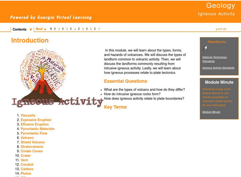
Ga Virtual Learning: Igneous Activity
In this interactive tutorial you will learn about the types, forms, and hazards of volcanoes. The types of landform common to volcanic activity is discussed. Then, the landforms commonly resulting from intrusive igneous activity are...


