Partnership for Educating Colorado Students
Mayan Mathematics and Architecture
Take young scholars on a trip through history with this unit on the mathematics and architecture of the Mayan civilization. Starting with a introduction to their base twenty number system and the symbols they used, this eight-lesson unit...
Curated OER
The Global Grapefruit - Representing a 3-Dimensional Globe on a 2-Dimensional Map
Students compare and contrast world maps and globes. They convert a 3-dimensional globe to a 2-dimensional map. They are introduced to the Mercator map projection. They observe map distortions of shape, area, distance, directions and angle.
Curated OER
O Greek Shape! O Fair Pose!
Young scholars analyze the black-figure painting style of ancient Greece and its influence on Neoclassical artists during the 18th century, as seen in drawing, painting and silhouettes, or shadow portraits. In this ancient art...
J. Paul Getty Trust
O Greek Shape! O Fair Pose!
Everything old is new again. The Los Angeles J. Paul Getty Museum presents a lesson on how Greek black-figure painting influenced eighteenth century Neoclassical artists. After looking at a series of examples, class members create their...
Perkins School for the Blind
Beginning Map Skills
Maps can be so much fun, they help you understand spatial relationships, distance between objects, and can foster direction skills. Budding cartographers with visual impairments use the Wheatley Tactile Diagramming Kit to create their...
Curated OER
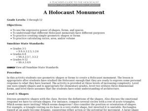
A Holocaust Monument
Students examine Holocaust memorials to discover expressive power of shapes, practice creating simple geometric shapes or forms, and practice calculating ratios, area, and/or volume.
Curated OER
A Holocaust Monument
Learners create a Holocaust memorial. In this interdisciplinary instructional activity, students use geometric shapes or forms to create a Holocaust monument.
Curated OER
Symmetry in Relief
Students explore radial symmetry. In this 3 dimensional art and geometry lesson, students identify examples of radial symmetry in everyday objects. Students create an imprint using radial symmetry on clay tiles.
Curated OER
A Contouring We Go
Students examine the built environment and infrastructures of their community by constructing contour equipment, using the equipment, and comparing their results to current topographical maps of the same area
Curated OER
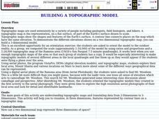
Building a Topographic Model
Students explore Mount Shasta and various locations on Mars to examine ways geographical data can be represented. They study topographic maps and translating data from 2-Dimensions to 3-Dimensions.
National Gallery of Canada
Memories of the Past
Explore contemporary American Indian art. After viewing a set of images, class members discuss the design elements of techniques present, as well as how these artists represent history and culture. Learners examine the parfleche and...
National Gallery of Canada
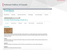
A Unity Wall Drawing
Build class community with an art project. Learners first examine and discuss works of art. They then contribute to a class mural by tracing their hands and decorating them in relation to their own cultures. The final mural...
Curated OER
Roman Archy
Third graders use Google Earth to examine Roman architecture. In this ancient Rome lesson, 3rd graders visit the noted URLs to look at examples of Roman architecture. Students work in teams to examine data about the structures.
Curated OER
3-D Topographic Maps
Students create a 3-D topographic map. In this map building lesson plan, students use cardboard to create a topographic map of the Catskills mountain region.
Curated OER
Personal Mummy Case
Students create a papier mâché mummy case covered with personal symbols from students' lives.
Curated OER
World Projections
Students identify map projections and examine polar maps. For this map skills lesson, students use a flat world map to identify various projections and calculate the distances between locations by using a map scale.


